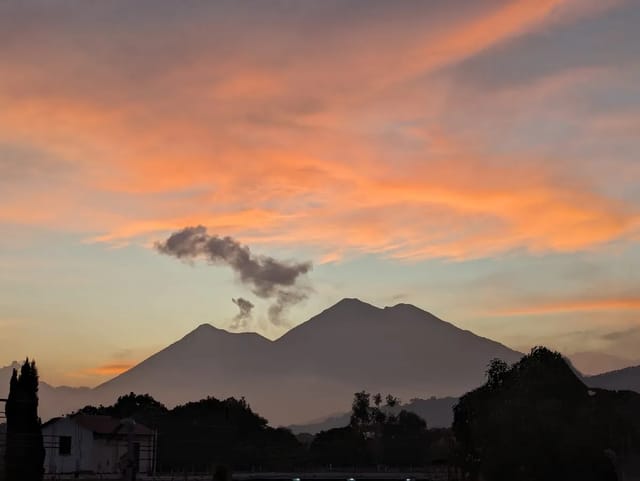
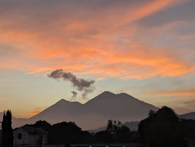
Pacaya is a day hike, and the decision it asks for is which part of the day to be on the trail. Pacaya rises to 2,552 m, 30 km southwest of Guatemala City according to Wikipedia. This page takes the forecast for the volcano and splits each of the next three days into 6 AM to noon and noon to 6 PM, then shows today and tomorrow hour by hour while the forecast is hourly, so you can pick a tour time with the numbers in front of you.
Morning against afternoon, and hour by hour
Pulled Sep 25, 2026 at 12:43 Guatemala time from MET Norway and OpenWeather.
 Weather data provided by OpenWeather
Data from MET Norway (CC BY 4.0); processed by us
Weather data provided by OpenWeather
Data from MET Norway (CC BY 4.0); processed by usMorning against afternoon
| Day | Rain chance 6am–noon | Noon–6pm | Thunder in MET's symbols 6am–noon | Noon–6pm | Cloud cover 6am–noon (avg) | Noon–6pm | First step ≥50% rain chance |
|---|---|---|---|---|---|---|---|
| Fri Sep 25 | — | 92% | no | no | — | 99% | 3 PM step |
| Sat Sep 26 | 0% | 100% | no | no | 98% | 100% | noon step |
| Sun Sep 27 | 90% | 100% | no | no | 98% | 100% | 9 AM step |
Hour by hour: Fri Sep 25
| Hour | Rain | Thunder in MET's symbol | Cloud cover | Wind | Temp |
|---|---|---|---|---|---|
| noon–1 PM | 3.1 mm | — | 100% | 11 km/h (7 mph) | 16°C (61°F) |
| 1 PM–2 PM | 0.7 mm | — | 99% | 5 km/h (3 mph) | 14°C (57°F) |
| 2 PM–3 PM | 0.7 mm | — | 98% | 3 km/h (2 mph) | 15°C (59°F) |
| 3 PM–4 PM | 1.7 mm | — | 99% | 4 km/h (2 mph) | 15°C (59°F) |
| 4 PM–5 PM | 0.8 mm | — | 100% | 5 km/h (3 mph) | 14°C (57°F) |
| 5 PM–6 PM | 0.2 mm | — | 100% | 4 km/h (2 mph) | 14°C (57°F) |
| 6 PM–7 PM | 0 mm | — | 99% | 5 km/h (3 mph) | 14°C (57°F) |
| 7 PM–8 PM | 0 mm | — | 99% | 5 km/h (3 mph) | 14°C (57°F) |
Hour by hour: Sat Sep 26
| Hour | Rain | Thunder in MET's symbol | Cloud cover | Wind | Temp |
|---|---|---|---|---|---|
| 5 AM–6 AM | 0 mm | — | 100% | 6 km/h (4 mph) | 11°C (52°F) |
| 6 AM–7 AM | 0 mm | — | 99% | 7 km/h (4 mph) | 12°C (54°F) |
| 7 AM–8 AM | 0 mm | — | 98% | 8 km/h (5 mph) | 13°C (55°F) |
| 8 AM–9 AM | 0 mm | — | 95% | 8 km/h (5 mph) | 15°C (59°F) |
| 9 AM–10 AM | 0 mm | — | 98% | 7 km/h (4 mph) | 18°C (64°F) |
| 10 AM–11 AM | 0.1 mm | — | 100% | 6 km/h (4 mph) | 19°C (66°F) |
| 11 AM–noon | 0.1 mm | — | 100% | 7 km/h (4 mph) | 19°C (66°F) |
| noon–1 PM | 4 mm | — | 100% | 12 km/h (7 mph) | 19°C (66°F) |
| 1 PM–2 PM | 1.9 mm | — | 100% | 11 km/h (7 mph) | 15°C (59°F) |
| 2 PM–3 PM | 2.4 mm | — | 100% | 8 km/h (5 mph) | 15°C (59°F) |
| 3 PM–4 PM | 1.2 mm | — | 100% | 6 km/h (4 mph) | 15°C (59°F) |
| 4 PM–5 PM | 0.5 mm | — | 100% | 4 km/h (2 mph) | 14°C (57°F) |
| 5 PM–6 PM | 0 mm | — | 100% | 4 km/h (2 mph) | 15°C (59°F) |
| 6 PM–7 PM | 0 mm | — | 100% | 4 km/h (2 mph) | 14°C (57°F) |
| 7 PM–8 PM | 0 mm | — | 100% | 5 km/h (3 mph) | 14°C (57°F) |
Rain chance: OpenWeather, the highest of its 3-hour steps stamped in each half-day. Thunder, cloud, wind, temperature and hourly rain: MET Norway, for Pacaya's Wikipedia coordinates (14.3808, -90.6011; MET's temperatures are for 2,189 m). MET is hourly until Sep 27, 11 PM and 6-hourly after that, so the hour-by-hour tables only cover its hourly part. A model, not a measurement. Hours are Guatemala time.
How to read it. In the first table, rain chance is the highest of OpenWeather’s 3-hour-step chances in each half of the day; the thunder columns say whether MET Norway’s weather symbol names thunder in that half; cloud cover is the average of MET’s values in that half (hourly for about the first 2.5 days, 6-hourly after, which the cell notes). First step ≥50% is the first OpenWeather step of the day whose rain chance reaches 50 percent. The hour-by-hour tables run from 5 AM to 8 PM and come from MET Norway alone; shaded rows are hours whose symbol names thunder. Whatever time your tour leaves, read the rows for the hours you will be on the mountain.
What the forecast is, and is not
- A forecast point, not the crater. The forecast is for the Pacaya coordinates on Wikipedia (14.3808, -90.6011); the note under the tables prints the terrain height MET Norway uses there.
- Thunder in a symbol is not a lightning detector. Treat it as the forecast’s signal.
- Nothing about the volcano. For eruptions and bulletins see the Pacaya tracker and volcano eruption today.
- Refreshed daily. The stamp above the tables shows when the forecast was read; if a day’s read fails, the previous file stays, past days drop off when the page is rebuilt, and the stamp turns red after 26 hours.
Planning the hike
- Tour operators, prices and what is included: Pacaya day tours.
- The trail itself: Pacaya volcano hike.
- Staying the night on a volcano instead: Acatenango weather (the summit at night).
- Before or after, in town: Antigua weather.
- Official warnings: weather alerts today.
Sources
Forecast: MET Norway’s locationforecast (thunder symbols, cloud, wind, temperature, hourly rain) and OpenWeather’s 5-day, 3-hour forecast (rain chance), both read daily for the Pacaya coordinates on Wikipedia; symbol names from MET’s documentation. Elevation and location: the Wikipedia article on Pacaya.
Frequently Asked Questions
Is the morning or the afternoon better for hiking Pacaya?
It depends on the day, which is why this page does not answer it once for all days. The first table compares the rain chance, thunder in the forecast and cloud cover for 6 AM to noon against noon to 6 PM for each of the next three days.
What does thunder in the forecast mean here?
That MET Norway’s weather symbol for that period names thunder (its symbols include names such as rainandthunder and lightrainshowersandthunder). It is the forecast’s signal, not a lightning report. MET’s symbols cover single hours for about the first 2.5 days and 6-hour periods after that.
Is Pacaya erupting, and is the trail open?
Weather forecasts say nothing about the volcano’s activity or about access. Our Pacaya tracker follows INSIVUMEH’s alert level and activity reports; for whether tours are running, ask the operators listed on our Pacaya tours page.
How is this different from the Acatenango weather page?
Acatenango is an overnight climb, so that page is about the night on the summit: the low, the wind and the rain overnight. Pacaya is a day hike, so this page is about which part of the day is drier.