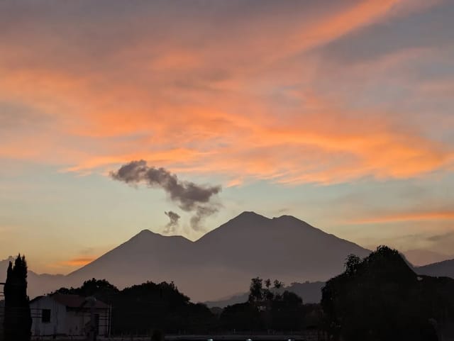
The standard Acatenango trip is an overnight one (two days and a night, as our hike page sets out), so the forecast that matters is not the daytime one: it is the night on the mountain. This page takes a forecast for the Acatenango summit and reduces each night, from 6 PM to 6 AM, to four numbers: the lowest temperature, the lowest wind-chill feels-like temperature, the strongest gust and the rain.
The nights ahead on the summit
Pulled Sep 24, 2026 at 20:48 Guatemala time from Open-Meteo forecast API.
| Night starting | Low, 6pm–6am | Feels like | Strongest gust overnight | Overnight rain | Daytime high | Rain chance noon–6pm |
|---|---|---|---|---|---|---|
| Fri Sep 25 | 0°C (32°F) | -3°C (27°F) | 27 km/h (17 mph) | 0.3 mm | 8°C (46°F) | 100% |
| Sat Sep 26 | 1°C (34°F) | -2°C (28°F) | 23 km/h (14 mph) | 0.6 mm | 8°C (46°F) | 100% |
| Sun Sep 27 | -1°C (30°F) | -3°C (27°F) | 32 km/h (20 mph) | 0.2 mm | 8°C (46°F) | 100% |
| Mon Sep 28 | 0°C (32°F) | -2°C (28°F) | 34 km/h (21 mph) | 0.3 mm | 6°C (43°F) | 100% |
| Tue Sep 29 | 0°C (32°F) | -2°C (28°F) | 28 km/h (17 mph) | 1.5 mm | 6°C (43°F) | 100% |
Model point 14.501, -90.876 (Acatenango summit; listed elevation 3,976 m); the forecast model downscales to 3,928 m there. A forecast, not a measurement. Temperatures in °C (°F), wind in km/h (mph); hours are Guatemala time.
How to read it. Each row is the night that starts on that date. Low is the lowest forecast air temperature between 6 PM and 6 AM. Feels like is the lowest apparent temperature over the same hours, Open-Meteo’s measure that combines wind chill, humidity and sunshine. Strongest gust is the highest one-hour maximum gust overnight. Overnight rain is the forecast total for the 12 hours. The last two columns are for the daytime of that date, the ascent day for a standard overnight trip.
What the numbers are, and are not
- A summit point, not your camp. The forecast is for the summit coordinates (14.501 N, 90.876 W), and the model adjusts its temperatures to its own terrain height there, about 3,930 m. The summit is listed at 3,976 m. A camp lower on the mountain can have a different temperature and wind, and a sheltered hollow can differ from an exposed ridge a few metres away.
- A forecast, not a measurement. No weather station feeds this table; it is a model estimate, refreshed daily.
- Not about the volcano. Rain and wind forecasts say nothing about Fuego’s activity or about whether the trail is open. For eruptions, bulletins and ash, see volcano eruption today. Access decisions have come from more than one body (the Municipalidad de Acatenango, the national park and INGUAT): our Acatenango hike page carries the latest access notes we have verified, and your operator is the one to ask about the day’s position.
Planning with it
- Packing: plan layers for the feels-like column, not the air temperature.
- Choosing a night: compare the gust and rain columns across the week; a calmer, drier night is the one to aim for if your dates are flexible.
- Sunrise from the summit: the week’s sunrise and sunset times for the summit point are in sunrise and sunset times in Guatemala.
- Down in Antigua before or after the climb: Antigua weather.
The long-form planning guide, from operators to packing, is the Acatenango overnight hike guide. For the months with less rain, see the best time to visit Guatemala, month by month.
Where the forecast comes from
The table is built from the Open-Meteo forecast API (best-match model blend), read once a day by our data pipeline for the Acatenango summit coordinates. The stamp above the table shows when the forecast was read. If a day’s read fails, the previous file stays in place: the page keeps showing that forecast, drops any days that have already passed when the page is rebuilt, and the stamp turns red once the forecast is more than 26 hours old. Guatemala’s official weather and volcano service is INSIVUMEH. Summit coordinates and elevation: the Acatenango entry on Wikipedia (14° 30′ 03″ N, 90° 52′ 33″ W; 3,976 m).
Frequently Asked Questions
How cold is it on Acatenango at night?
The table on this page gives the forecast low on the summit for each night in the forecast (up to six), from 6 PM to 6 AM, and the feels-like low once wind is taken into account. It is a forecast for the summit point, which the forecast model places at about 3,930 m; the summit itself is listed at 3,976 m.
What does the feels-like column mean?
It is Open-Meteo’s apparent temperature: the perceived temperature combining wind chill, humidity and sunshine. On a windy night on an exposed summit it can sit well below the air temperature, which is why the table shows both.
Should I cancel my Acatenango hike because of the forecast?
This page cannot make that call for you, and neither can a model point. It shows the numbers for the summit so you can pack for them and ask your operator the right questions. Access to the trail is a separate matter: decisions have come from more than one body, including the Municipalidad de Acatenango, the national park and INGUAT, as our Acatenango hike page records. Check that page, our volcano status page and your operator before you travel.
Where can I see whether Fuego is erupting?
Our volcano eruption today page gathers INSIVUMEH’s volcano bulletins, CONRED alerts and ash advisories for Fuego and the other active volcanoes. The weather forecast here says nothing about volcanic activity.