What this page tracks
Volcán Pacaya is the easiest active volcano to visit anywhere in the Americas. It sits 30 km south of Guatemala City and 25 km southeast of Antigua, making it the country’s most accessible volcanic destination — and the most likely volcano a typical tourist will actually climb. This page is built for two audiences: visitors deciding whether the day hike is safe today, and residents of southern Escuintla / southern Guatemala department watching for ash or lava advisories.
The three live data feeds:
- INSIVUMEH — daily Boletín Vulcanológico, alert level, fumarole status, any new lava activity from MacKenney crater.
- Smithsonian Global Volcanism Program (GVP) — confirmed eruption history back to 1668.
- Washington VAAC — ash advisories that could affect Guatemala City airspace (Pacaya ash closed La Aurora for days in 2010).
The card at the top pulls today’s reading from each source. INSIVUMEH publishes its bulletin as an image-only PDF that our scraper can’t always parse automatically — when that happens, the card falls back to the most recently curated Smithsonian GVP alert level. The bulletin link is always live so you can verify in Spanish.
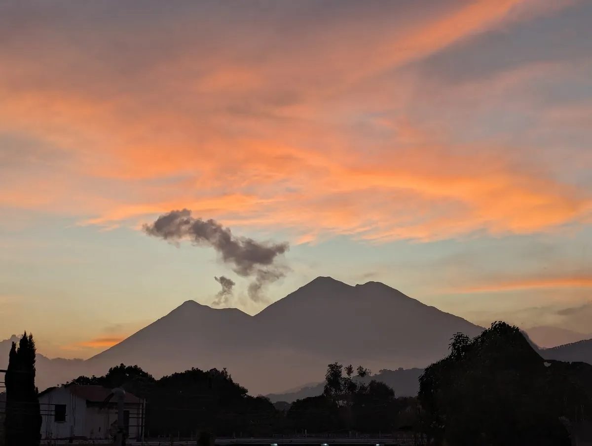
Where Pacaya sits
Volcán Pacaya rises 2,552 meters above sea level on the border between Escuintla and Guatemala departments. It is part of a volcanic complex with the older Cerro Grande and the active MacKenney cone, where current degassing and lava flows originate. The volcano sits within Pacaya National Park, administered by CONAP, and the standard hiking trail starts in the village of San Vicente Pacaya.
Pacaya is classified as a stratovolcano with a Strombolian-to-Hawaiian eruption style. Unlike Fuego’s daily explosions, Pacaya alternates between long quiet periods (months of just degassing) and intermittent active phases with lava fountaining and short flows. The current phase has been intermittent since 2021.
Risk zone and evacuation routes
The map above plots the official 10 km risk radius as a dashed circle around the MacKenney cone. The four nearby population centers:
- San Vicente Pacaya (Escuintla) — the village at the trailhead. Closest exposure; CONRED maintains community sirens.
- Amatitlán (Guatemala department) — on the north side, on the lake. Subject to ashfall during stronger eruptions.
- Guatemala City (Guatemala department) — 30 km north. Beyond the direct hazard zone but vulnerable to ashfall and airport disruption.
- Escuintla (Escuintla department) — south, in the broader lahar runoff zone during rainy season.
CONRED’s evacuation plan radiates outward from San Vicente Pacaya through Highway CA-9. The CONRED emergency line is 1566.
Eruption history
Pacaya’s confirmed eruption record stretches back over 350 years per the Smithsonian Global Volcanism Program. Notable events:
- 2010 (VEI 3) — May 27 eruption, 2 fatalities, hundreds of homes damaged, lava flows toward populated areas, multi-day La Aurora airport closure from ashfall on Guatemala City.
- 1775 (VEI 3) — major historical eruption.
- 1668-1699 — multiple confirmed VEI 2 eruptions in the late 17th century.
The full table below pulls confirmed and uncertain eruption events from the GVP catalog, sorted newest-first.
How activity is monitored
INSIVUMEH operates seismic stations and visual cameras on Pacaya, with primary monitoring from the Observatorio Vulcanológico Pacaya (OVPAC). The daily Boletín Vulcanológico Diario reports:
- Crater fumarole intensity and gas composition
- Any new lava flow activity from MacKenney
- Seismic event counts (especially tremor signals associated with magma movement)
- Alert level changes coordinated with CONRED
CONRED uses the standard 4-level system. Pacaya has historically held at Green or Yellow for most of any given year, with brief Orange windows during active phases (such as 2010).
The Pacaya National Park rangers and licensed local guide associations work directly with INSIVUMEH and CONAP — at Orange alert, the trail closes to the summit and guides reroute to viewpoint-only excursions. At Red alert, the entire park closes.
What to do if Pacaya escalates
If you are within the 10 km radius or hiking the day INSIVUMEH issues an Orange or Red alert:
- Turn back to San Vicente Pacaya immediately if on the trail. Licensed guides carry radios and CONRED notifications.
- N95 masks and goggles for ash. The 2010 event showed how fast Pacaya ash can blanket the south side of Guatemala City.
- Avoid the upper barrancas — block-and-ash flows and lahars travel down the same drainages each time.
- If you’re flying in or out of GUA (La Aurora): monitor airline updates; Pacaya ash has historically closed the airport for 24-72 hours.
- Seal windows with damp cloth if ashfall reaches your location.
- Emergency numbers: CONRED 1566, Bomberos 122, Ambulancia 128, Cruz Roja 125.
Visiting Pacaya (the day hike)
Pacaya is the volcano most visitors actually climb. The trail starts in San Vicente Pacaya at ~1,700 m and climbs roughly 2 km to a viewpoint at 2,400-2,500 m elevation. Most parties take 90-150 minutes up, depending on pace, with horse rentals available (Q100-150) for kids or anyone who needs them. The descent is fast — typically 60 minutes.
What you see depends on the activity level. At quiet Yellow (the current state), you walk through black volcanic sand and basalt outcrops, often with steam vents where guides roast marshmallows over residual heat. During active phases you can sometimes see incandescent lava from a safe distance. Hiking ON the active cone itself is never permitted.
For full trail logistics, costs, what to pack, and the family-friendly version, see Pacaya Day Hike with Kids. Cross-link to sibling pages: Fuego live tracker and Santiaguito live tracker.
Book a Pacaya day hike
Affiliate links — we earn a commission if you book, at no extra cost to you. We recommend operators with 4.5+ star verified ratings.
Related resources
- Guatemala volcano tracker (hub) — all three active volcanoes at a glance.
- Fuego live tracker — sibling page for Central America’s most active volcano.
- Santiaguito live tracker — sibling page for the Quetzaltenango lava dome complex.
- Pacaya day hike with kids — family-friendly trail guide.
- Guatemala weather & climate — rainy season impact on volcano hiking.
- Antigua Guatemala — common starting point for Pacaya day trips.