
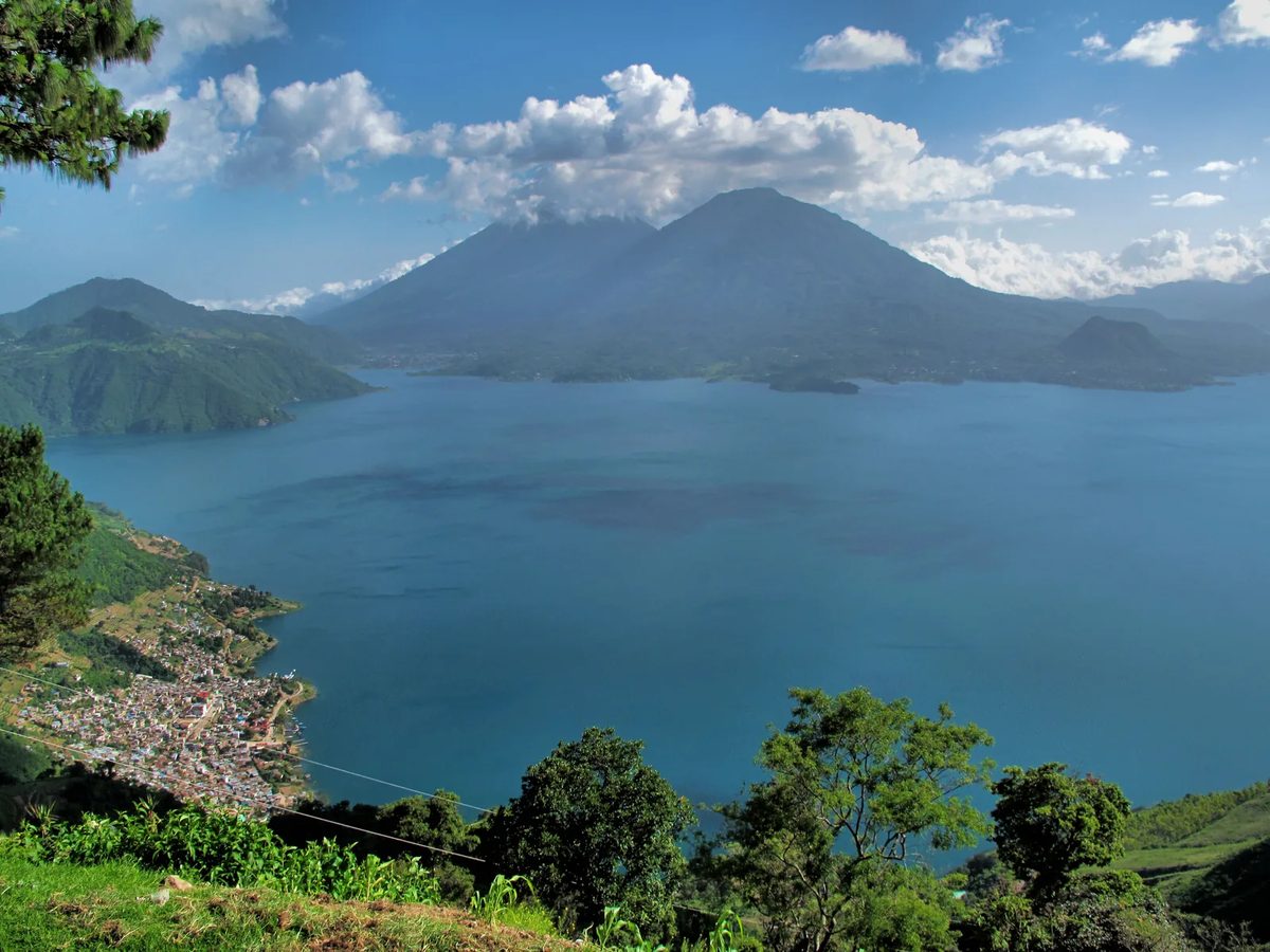
In short: Guatemala’s 2018 census measured internet use at populated-place level, which means the boat-only villages have their own rows. The lake’s spread runs from 58.3% in one Panajachel settlement to 5.2% in Pajomel — elevenfold, inside one department. And the finding that breaks the usual story: Jaibalito (25.7%) and Tzununá (22.5%), both boat-only, both beat road-accessible San Pablo La Laguna (12.3%). Access here follows tourism and income, not roads. This is a 2018 baseline, from before Starlink — stated up front, because it is what makes the data honest rather than current.
There is no town-level speed data for Lake Atitlán. Nobody publishes it — not the carriers, not the regulator, not Starlink. We have not run speed tests and this page does not pretend otherwise. What does exist is a census that went village by village, and it answers a different but more useful question: where on this lake are people actually online.
The lake, town by town
Every count below is from INE’s Cuadro A12; every percentage is our arithmetic on those counts.
| Municipio | Pop. aged 7+ | Uses a cellphone | Uses a computer | Uses the internet |
|---|---|---|---|---|
| Panajachel | 13,068 | 77.0% | 44.6% | 52.9% |
| Santa María Visitación | 2,059 | 77.3% | 46.9% | 47.2% |
| San Marcos La Laguna | 2,298 | 66.4% | 40.3% | 42.3% |
| San Pedro La Laguna | 9,447 | 70.2% | 35.0% | 37.4% |
| San Juan La Laguna | 10,300 | 67.0% | 31.7% | 32.8% |
| San Andrés Semetabaj | 11,114 | 62.1% | 19.6% | 27.2% |
| Santa Clara La Laguna | 8,071 | 65.1% | 25.5% | 26.8% |
| Santa Lucía Utatlán | 18,358 | 64.9% | 18.6% | 24.7% |
| Sololá (municipio) | 75,102 | 63.1% | 18.5% | 23.4% |
| Santa Cruz La Laguna | 4,846 | 56.1% | 15.9% | 23.4% |
| San Lucas Tolimán | 25,377 | 53.4% | 16.7% | 18.8% |
| Santiago Atitlán | 36,611 | 53.4% | 14.3% | 17.3% |
| San Antonio Palopó | 12,242 | 58.0% | 10.6% | 16.4% |
| San José Chacayá | 3,387 | 56.8% | 16.4% | 16.2% |
| Nahualá | 63,409 | 50.4% | 10.9% | 14.7% |
| Santa Catarina Palopó | 3,323 | 50.0% | 9.4% | 12.7% |
| San Pablo La Laguna | 6,329 | 51.3% | 12.2% | 12.3% |
| Santa Catarina Ixtahuacán | 47,679 | 43.2% | 9.0% | 11.1% |
| Concepción | 5,437 | 55.3% | 3.4% | 7.3% |
| — | ||||
| Guatemala, national | 12,528,937 | 61.9% | 20.9% | 29.3% |
Source: INE, Censo 2018 — Lugares Poblados, Cuadro A12, downloaded 2026-09-17. Percentages computed from published counts.
Only five lake municipios cleared the national average — Panajachel, Santa María Visitación, San Marcos, San Pedro and San Juan. Four of the five are lake towns with a substantial visitor economy, and that association is the mechanism the rest of this page is about.
The boat-only villages, individually
This is the part no other source has. The municipio of Santa Cruz La Laguna is not one place — the census splits it into eight settlements, four of which are boat-only.
| Populated place | Access | Pop. 7+ | Cellphone | Computer | Internet |
|---|---|---|---|---|---|
| Santa Cruz La Laguna (village) | boat-only | 1,442 | 52.4% | 20.2% | 32.8% |
| Chaquijchoy | — | 177 | 68.4% | 28.8% | 29.4% |
| Jaibalito | boat-only | 510 | 44.1% | 18.6% | 25.7% |
| Tzununá | boat-only | 1,455 | 46.9% | 17.7% | 22.5% |
| Xeabaj | — | 196 | 55.1% | 16.3% | 19.9% |
| Chuitzanchaj | — | 545 | 75.8% | 4.6% | 15.0% |
| Pajomel Chiquito | — | 98 | 90.8% | 6.1% | 8.2% |
| Pajomel | boat-only | 423 | 76.6% | 2.6% | 5.2% |
The census records population and declared use, not how you reach a place. Only the four settlements marked boat-only are described that way in our research note; the rest are left unclassified rather than guessed. Lancha routes and fares are on the Atitlán boat-routes page.
And the Panajachel municipio, likewise, is five places:
| Populated place | Pop. 7+ | Cellphone | Computer | Internet |
|---|---|---|---|---|
| El Esfuerzo o La Vega | 235 | 76.2% | 52.8% | 58.3% |
| Panajachel (town) | 7,854 | 78.8% | 48.2% | 56.2% |
| Juncaya / Jucanyá | 3,884 | 77.7% | 42.3% | 50.9% |
| San Luis | 146 | 63.7% | 17.8% | 37.7% |
| Patanatic | 930 | 61.1% | 26.2% | 33.9% |
And the lake’s other town centres:
| Town centre | Pop. 7+ | Cellphone | Computer | Internet |
|---|---|---|---|---|
| San Juan La Laguna | 5,139 | 75.9% | 42.9% | 44.7% |
| San Marcos La Laguna | 2,298 | 66.4% | 40.3% | 42.3% |
| San Pedro La Laguna | 9,447 | 70.2% | 35.0% | 37.4% |
| Santa Clara La Laguna | 5,769 | 68.1% | 29.1% | 30.3% |
| San Lucas Tolimán | 6,328 | 60.5% | 22.3% | 24.3% |
| Santiago Atitlán | 22,670 | 56.6% | 14.9% | 19.4% |
| San Antonio Palopó | 3,933 | 60.6% | 10.1% | 14.5% |
| Santa Catarina Palopó | 2,796 | 49.6% | 9.7% | 13.2% |
| San Pablo La Laguna | 6,329 | 51.3% | 12.2% | 12.3% |
San Pablo, San Marcos and San Pedro each report as a single populated place, so their town and municipio figures are identical.
Four things the data says that the anecdotes get wrong
1. Boat-only is not the divide. Money is.
The standard line — repeated in almost every Atitlán guide, including older pages on this site — is that the boat-only villages are the disconnected ones. The census says otherwise.
| Place | Road? | Internet use |
|---|---|---|
| Jaibalito | No — boat-only | 25.7% |
| Tzununá | No — boat-only | 22.5% |
| San Pablo La Laguna | Yes | 12.3% |
Two boat-only villages, roughly double the internet use of a town you can drive to. Access at Lake Atitlán tracks economy and tourism, not road access — which is the opposite of the assumption most guides start from.
2. A cellphone tells you nothing
The census asked about cellphones, computers and internet separately, and the gap between the first and the third is the most revealing column in the file.
| Place | Uses a cellphone | Uses the internet | Gap |
|---|---|---|---|
| Pajomel Chiquito | 90.8% | 8.2% | 82.6 pts |
| Pajomel | 76.6% | 5.2% | 71.4 pts |
| Chuitzanchaj | 75.8% | 15.0% | 60.8 pts |
| Panajachel (town) | 78.8% | 56.2% | 22.6 pts |
| Jaibalito | 44.1% | 25.7% | 18.4 pts |
Pajomel is nine in ten people carrying a phone and one in twelve using the internet. That is a place with signal and no data — voice and SMS, and very little else. Jaibalito is the inverse profile: the lowest cellphone use anywhere on the lake, paired with mid-table internet use. The census records declared use, not the technology behind it, so what produces that pattern is a question the data cannot answer.
Why this matters if you are moving: “there’s signal” is the answer you will get when you ask locally, and it is not an answer to your question.
3. Santiago Atitlán is the real laggard
The lake’s largest town — 36,611 people aged 7 and over, roughly three times Panajachel’s whole municipio — recorded 17.3% in 2018. Below Santa Cruz La Laguna. Below San Marcos, a village a sixteenth its size. Below every other lake municipio above 18%.
The census does not say why, and this page will not invent a reason. But it is the number to carry into any decision about the southern shore, and it is the opposite of what size would lead you to expect.
4. The spread inside one lake is elevenfold
From 58.3% in El Esfuerzo, a small settlement inside Panajachel municipio, to 5.2% in Pajomel. “Lake Atitlán internet” is not a thing. There are fifteen or so different answers, and which one you get is decided at the level of the village, not the lake.
What has changed since 2018 — and what has not
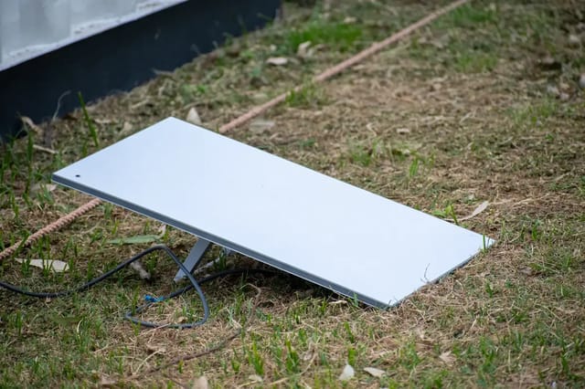
What changed: Starlink. It was not available in Guatemala when this census was taken, and it is the reason a 2018 baseline cannot be read as a 2026 forecast. Satellite service removes the wired question entirely wherever there is a clear view of the sky and reliable power — which is exactly the constraint that produced the north shore’s numbers. Our Starlink page covers plans, hardware and the power-resilience problem that follows it.
What did not change: the underlying economics. A census measures who is online, and being online costs money every month. The rank order in the tables above is, to a first approximation, a ranking of the lake’s tourist and remittance economies. Starlink lowers the infrastructure barrier; it does not lower the price. Expect the level to have risen everywhere and the shape — Panajachel at the top, the boat-only villages and the other visitor towns next, San Pablo and the Palopós at the bottom — to be broadly intact.
What we would need to prove that: a town-level dataset from after 2022. None exists. Guatemala’s next census is the only instrument that would produce one, and the carriers do not publish coverage by town.
How to use this if you are choosing where to stay
- Panajachel and Jucanyá are the connected end, by a wide margin and on every one of the three census measures. If the trip depends on the connection, this is the low-risk answer. Costs by town are here.
- San Marcos, San Pedro and San Juan are the solid middle — all above or near the national average, all with an established foreign-resident economy behind that.
- The boat-only villages — Santa Cruz village, Jaibalito, Tzununá — are better than their reputation, and better than several road towns. If you want quiet without being cut off, this is where the data points.
- Assume nothing from the municipio name. Pajomel, Chuitzanchaj and Xeabaj are counted inside the same municipio as Santa Cruz La Laguna and record a different world: 5% to 20%, against the village’s 32.8%.
- Bring your own connection if the work is non-negotiable. That means Starlink plus a UPS, not a guesthouse’s wifi. See internet speed by region and Guatemala phone plans for the mobile fallback.
A note on the other figures you will see
Two pages on this site — the Lake Atitlán town comparison and the Guatemala internet guide — carry per-town megabit figures (“15-40 Mbps”, “10-25 Mbps”, “3-8 Mbps on a good day”). Those are field impressions and they do not carry a source. They are not contradicted by this page, because they measure a different thing: what a connection delivers, versus how many people have one. But if you are making a decision on a number, prefer the one on this page, because it comes from a national census you can download and check.
Method, stated plainly
- Source: Instituto Nacional de Estadística, XII Censo Nacional de Población y VII de Vivienda 2018, dataset “CENSO 2018 - LUGARES POBLADOS”, licensed Creative Commons Attribution. File: Cuadro A12 — “Población censada de 7 años o más por uso de celular, computadora y/o internet”, sheets A12.1 (department), A12.2 (municipio), A12.3 (populated place). Downloaded 17 September 2026.
- What is measured: persons aged 7 or over who declared using a cellphone, a computer and/or the internet, as a share of all persons aged 7 or over in that place.
- What is not measured: households connected, subscriptions, bandwidth, latency, uptime, or anything a visitor rents. The census counts residents.
- Percentages: computed here from INE’s published counts. The census publishes counts only.
- Speed tests: none were run for this page, and no figure here is derived from one.
- What could not be sourced on 17 September 2026: any per-town Starlink availability table; Tigo’s coverage map (
tigo.com.gtreturned HTTP 403 to every request); Claro’s coverage map (JavaScript-only, nothing town-level in the served page); any SIT dataset of fixed or mobile coverage by municipio.
Related pages
- Lake Atitlán towns compared — vibe, cost, who each is for
- Cost of living at Lake Atitlán
- Starlink in Guatemala
- Internet speed by region in Guatemala
- Guatemala internet and ISP guide
- Lake Atitlán lancha routes and fares
- Guatemala phone plans
Sources
All read 2026-09-17.
- INE — Censo 2018: Lugares Poblados (open-data catalogue record, CC-BY)
- INE — Cuadro A12, “Población censada de 7 años o más por uso de celular, computadora y/o internet” (XLSX)
- INE — announcement of 2018 census data at populated-place level
- INE — Censo 2018 household tabulations
Frequently Asked Questions
Which Lake Atitlan town has the best internet?
On the only town-level measurement that exists, Panajachel — and not narrowly. In Guatemala’s 2018 census, 52.9% of Panajachel municipio residents aged 7 and over declared using the internet, and 56.2% in the town itself. The next-best lake municipios were San Marcos La Laguna at 42.3%, San Pedro La Laguna at 37.4% and San Juan La Laguna at 32.8%. National average that year was 29.3%. These are census figures for what residents use, not speed tests — Guatemala publishes no town-level speed data.
Do the boat-only villages have internet?
More of it than one road town does, which is the finding that overturns the usual framing. In 2018, Jaibalito recorded 25.7% internet use and Tzununa 22.5%, both reachable only by boat. San Pablo La Laguna, which is on the road, recorded 12.3% — roughly half. Access at Lake Atitlan tracks tourism and household income far more closely than it tracks whether a road reaches the village.
How current is this data?
It is from the 2018 census, and that is a real limitation stated plainly. Starlink did not exist as a Guatemalan option then, and it is the single biggest thing that has changed on the lake since. Treat these numbers as the last independent, town-level baseline before satellite, and as a map of the underlying economic divide — not as a description of what you can buy today.
Where does the 2018 census data come from?
Guatemala’s Instituto Nacional de Estadistica publishes the XII Censo Nacional de Poblacion y VII de Vivienda 2018 down to lugar poblado — populated place — level on its open-data portal, under a Creative Commons Attribution licence. The specific file is Cuadro A12, ‘Poblacion censada de 7 anos o mas por uso de celular, computadora y/o internet’. Its third sheet breaks every municipality into its individual settlements, which is why Jaibalito, Tzununa and Pajomel each have their own row.
What exactly does the census measure?
Persons aged 7 or over who declared that they use the internet, as a share of all persons aged 7 or over in that place. It is not households connected, not subscriptions, and not speed. It also counts residents, not the wifi a guesthouse rents to a visitor. All percentages on this page are our arithmetic on INE’s published counts; the census publishes counts, not percentages.
Is a cellphone the same as internet access here?
Emphatically not, and the census shows it place by place. Pajomel recorded 76.6% cellphone use and 5.2% internet use. Chuitzanchaj recorded 75.8% cellphone and 15.0% internet. Jaibalito is the mirror image — the lowest cellphone use on the lake at 44.1%, with mid-table internet use at 25.7%. Three quarters of a village carrying phones tells you nothing about whether they can get online.
Should I plan a remote-work stay around these numbers?
Use them for the shape, not the speed. They tell you that Panajachel and its satellite Jucanya are the connected end of the lake, that San Marcos, San Pedro and San Juan form a solid middle, and that Santiago Atitlan — the lake’s largest town — is a genuine laggard at 17.3%. For what you can actually buy, the decisive variable since 2018 has been Starlink, which removes the wired question entirely wherever there is sky and power.
Why is Santiago Atitlan so low?
The census does not explain it, and this page will not invent a reason. What it records is the fact: 36,611 residents aged 7 and over, the largest population on the lake, and 17.3% internet use in 2018 — below every other lake municipio above 18%, and well below far smaller towns like San Marcos. It is the single most counter-intuitive number in the dataset.
![Best Places for Remote Workers in Guatemala [2026 Ranked]](/cdn-cgi/image/width=640,format=auto,quality=80/images/photos/antigua-street-scene-2020.webp)