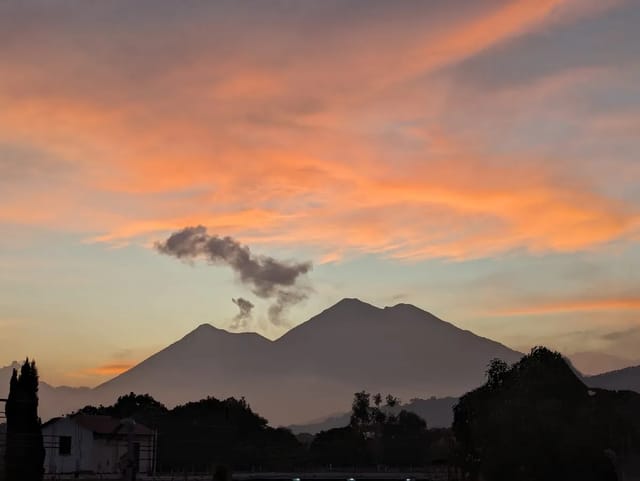
Cerro Cahuí is a forested hill on the northeast shore of Lake Petén Itzá at El Remate, protected as a biotope and run by the San Carlos University’s conservation centre, CECON. CECON’s page lists entry at Q10 for Guatemalans and Q40 for foreigners, two trails with lake viewpoints, and a beach and dock at the entrance. CONAP puts it 32 km and about an hour from Flores island (both read 3 October 2026).
CONAP says the name means a giant lizard or crocodile, from the shape the hill makes seen from across the lake. The forest runs from 110 to 300 metres above sea level, and CONAP names the ocellated turkey as the species the biotope was set up to protect.
Quick summary
| Item | Value |
|---|---|
| Where | Biotopo Protegido Cerro Cahuí, El Remate, northeast shore of Lake Petén Itzá, Petén |
| Run by | CECON, Universidad de San Carlos de Guatemala (since 24 October 1981, per CECON) |
| Declared | 1989 (CONAP) |
| Status | Core zone of the Maya Biosphere Reserve (CONAP) |
| Entry, Guatemalans | Q10 (CECON) |
| Entry, foreigners | Q40 (CECON) |
| Hours | Monday-Sunday 7:00-17:00 (CECON) · Monday-Sunday 8:00-16:00 (CONAP) |
| From Flores island | 32 km, about 1 hour (CONAP) |
| Trails | Sendero Sac O’Ox and Sendero Los Escobos; Mirador Maya and Mirador Moreletti viewpoints (CECON) |
| At the entrance | A beach and a dock on the lake (CECON) |
| Phone | (+502) 7926-4158 (CONAP’s listing for CECON) |
Sources: CECON’s page for the Biotopo Protegido Cerro Cahuí and CONAP’s tourism portal page Biotopo Protegido Cerro Cahuí, both read 3 October 2026.
What you pay
| Visitor | Fee | Source |
|---|---|---|
| Guatemalan | Q10 | CECON, read 3 October 2026 |
| Foreigner | Q40 | Same |
CONAP’s page gives no fee; CECON, which runs the biotope, publishes it. For comparison, CECON’s page for the Biotopo del Quetzal, which it also runs, lists Q20 and Q60.
Hours: two official pages, two schedules
CECON lists 7:00 to 17:00 every day; CONAP lists 8:00 to 16:00 every day. If you arrive between 8:00 and 16:00 you are inside both windows. For an early start, the phone CONAP lists for the administration is (+502) 7926-4158.
Getting there from Flores
- Take the road toward Melchor de Mencos (the CA-13, per CONAP) east from Flores island to the village of El Remate. CONAP puts the biotope 32 km and about an hour from the island.
- At El Remate, turn left onto the road that runs around Lake Petén Itzá.
- The entrance is 2 km from that turn (CONAP).
El Remate sits on the same road you take to Tikal. Our Flores to Tikal page has a section on staying in El Remate and the shuttles that stop there, and the drive to Tikal page covers the road.
The trails
CECON’s page lists:
- Two land trails, one short and one long, with rest stops along the way.
- Sendero Sac O’Ox and Sendero Los Escobos.
- Two viewpoints: Mirador Maya and Mirador Moreletti.
- A beach and a dock in front of the biotope’s entrance.
CONAP adds that from the top of the hill there is a panoramic view of Lake Petén Itzá, and that the trails are there to see the area’s plants and animals. Neither page gives trail lengths or walking times.
What to bring
CONAP’s list: good footwear, preferably shoes that cover the ankles; comfortable, cool clothes; a rain jacket; insect repellent; sunscreen; a swimsuit; and a cap. CECON lists a beach and a dock at the entrance.
Where to sleep
El Remate puts you at the gate and on the road to Tikal; Flores is an hour away. Tikal sunrise tours pick up in both, per our Tikal sunrise tour page, so a night in El Remate can cover Cerro Cahuí in the afternoon and Tikal the next morning.
Where to stay in El Remate
Compare Booking.com, Airbnb and hotels on one map. Drag the map and set your dates to see live availability and real prices.
Affiliate links — if you book, we earn a small commission at no extra cost to you.
Cerro Cahuí and the Biotopo del Quetzal
| Cerro Cahuí | Biotopo del Quetzal | |
|---|---|---|
| Run by | CECON-USAC | CECON-USAC |
| Region | Petén lowlands, Lake Petén Itzá | Baja Verapaz cloud forest, km 160.5 of the CA-14 |
| Species the reserve is built around | Ocellated turkey (CONAP) | Resplendent quetzal |
| Entry, Guatemalans / foreigners (CECON) | Q10 / Q40 | Q20 / Q60 |
| Hours | 7:00-17:00 (CECON) · 8:00-16:00 (CONAP) | 8:00-16:00, every day of the year (CECON) |
More in Petén
- Tikal sunrise tour · Yaxhá ruins · Ixpanpajul park · Actun Kan caves.
- Aguateca ruins · Ceibal ruins.
- Guatemala’s protected areas (CONAP) · Birdwatching in Guatemala · Flores · Petén department · all activities.
Affiliate links — if you book, we earn a commission at no extra cost to you.
Frequently Asked Questions
How much is the entrance to Cerro Cahuí?
Q10 for Guatemalans and Q40 for foreigners, per the page of the San Carlos University’s Centro de Estudios Conservacionistas (CECON), which administers the biotope (read 3 October 2026).
What are Cerro Cahuí's opening hours?
The two official pages disagree. CECON’s page lists Monday to Sunday 7:00 to 17:00; CONAP’s tourism portal lists Monday to Sunday 8:00 to 16:00 (both read 3 October 2026). Arriving between 8:00 and 16:00 fits both.
How do I get to Cerro Cahuí from Flores?
CONAP puts it 32 km from Flores island at the village of El Remate, about one hour. Follow the paved road toward Melchor de Mencos to El Remate, turn left onto the road that runs around Lake Petén Itzá, and the entrance is 2 km from that turn.
What trails does Cerro Cahuí have?
CECON lists two land trails, a short one and a long one, with rest stops along the way: Sendero Sac O’Ox and Sendero Los Escobos, with the Mirador Maya and Mirador Moreletti viewpoints. There is a beach and a dock in front of the entrance.
What wildlife can you see at Cerro Cahuí?
CONAP and CECON both name the ocellated turkey (Meleagris ocellata); CONAP says protecting it is the biotope’s objective. CONAP describes humid tropical forest between 110 and 300 metres above sea level.
Who runs Cerro Cahuí?
CECON, the conservation-studies centre of the Universidad de San Carlos de Guatemala. CECON says Cerro Cahuí was the university’s first protected biotope in Petén, administered by CECON since 24 October 1981. CONAP lists 1989 as its declaration year and places it in a core zone of the Maya Biosphere Reserve.
What does Cahuí mean?
CONAP translates it as a giant lizard or crocodile, a name given for the hill’s shape seen from the far shore of Lake Petén Itzá.