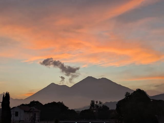
Volcán de Ipala is a 1,650-metre volcano on the border of Chiquimula and Jutiapa with a lake in its crater about a kilometre across. Entry is Q5 per person, per the Ministerio de Cultura y Deportes’ listing (read 24 September 2026), and the area is co-managed by CONAP and the local association ADISO.
It is a crater-lake climb that suits most walkers: a marked trail of about two hours, local guides optional, and a lake at the top where you can picnic or camp. Guides recommend starting early, which is why sleeping nearby helps.
Quick summary
| Item | Value |
|---|---|
| Where | Ipala (Chiquimula) and Agua Blanca (Jutiapa) — on the department border |
| Height | 1,650 m (guatemala.com) |
| Crater lake | About 1,000 m in diameter (Ministerio de Cultura) |
| Protected status | Protected under Decreto 7-98 · managed by CONAP / ADISO |
| Entry | Q5 per person (Ministerio de Cultura) |
| Hours | No restriction (Ministerio de Cultura) · 8:00-17:00 (Soy502, June 2026) |
| Climb | 1.5-2 hours up |
| From Guatemala City | 3.5-4 hours by car |
| Where to sleep | Ipala (or Chiquimula) |
Fee, status and lake size from the Ministerio de Cultura y Deportes’ cultural information system, read 24 September 2026. Route, times and contacts from Soy502 (June 2026) and guatemala.com (November 2025).
What you pay
| Item | Price | Source |
|---|---|---|
| Entry to the lake area | Q5 per person | Ministerio de Cultura listing; Soy502 (June 2026) |
| Camping | Included in the Q5 | Soy502 (June 2026) |
| Horse ride (one local provider) | Q15 | Soy502 (June 2026) |
guatemala.com’s November 2025 guide gave different figures — Q5 for Guatemalans, Q10 for foreigners, and Q20 to camp. The official listing does not split by nationality, and the more recent report agrees with it, but a few extra quetzales in cash cover you either way.
Hours
The Ministerio de Cultura’s listing says there is no restriction on hours. Soy502’s June 2026 guide gives 8:00 a.m. to 5:00 p.m. for the lake area. Since guatemala.com advises starting the climb between 6:00 and 8:00 to avoid the heat, the cautious plan is to be at the trailhead around 8:00. If you want an earlier start or to camp, call ADISO first: 7942-8431 or 5334-3520 (per Soy502), ipalaadiso@gmail.com.
Getting there
Soy502 puts the drive at 3.5 to 4 hours from Guatemala City, by two routes:
- Via Chiquimula (Ipala side). The Jacobo Árbenz Guzmán highway and the Atlantic highway (CA-9), turn at the Río Hondo junction onto the CA-10 toward Chiquimula, then the CHI-01 to Ipala, where you ask for the village of San Francisco.
- Via Jutiapa (Agua Blanca side). The Inter-American highway (CA-1) toward Jutiapa, on through Santa Catarina Mita to Agua Blanca, whose villages sit on the volcano’s slopes.
guatemala.com gives about 3.5 hours by car and places the volcano about 165 km from Guatemala City.
The climb
- Time: about 1.5 to 2 hours up, depending on your pace (guatemala.com); Soy502 says about two hours.
- Trail: well-marked and used by locals as well as visitors; guatemala.com calls it a moderate walk that needs no hiking experience.
- At the base: some residents offer guides, horses, drinks and food, per guatemala.com, which says there are no shops or services at the top. Soy502 did find rustic food stalls and small eateries around the lake — bring your own food and water anyway.
- Pack: comfortable shoes, sunscreen, a cap and insect repellent. The trail can be slippery in the rainy season.
- Pets: Soy502 calls the area pet-friendly.
At the crater: the lake, and whether to swim
The Ministerio de Cultura describes dry forest with little rain around a lake about 1,000 metres across, with fish such as peces plateados (silvery fish), guapote and tilapia — which, it notes, have been affected by the falling water level and by pollution.
On swimming, the sources split. Soy502 (June 2026) lists swimming among the activities and suggests packing a swimsuit and a change of clothes. guatemala.com (November 2025) says swimming is not recommended, for safety and conservation. We found no posted rule from CONAP or ADISO either way.
Camping
Soy502 confirms camping is allowed at the top near the crater lake. Bring a tent, warm clothes — it can get cold at the top — food, and bags to carry out your rubbish.
Where to sleep: Ipala or Chiquimula
- Start early. guatemala.com recommends beginning the climb between 6:00 and 8:00. From Guatemala City, 3.5-4 hours away, that means leaving in the middle of the night.
- Ipala is the trailhead town on the Chiquimula route, and Soy502 suggests staying longer to visit the Poza de Pila bathing spot and the Cofradías hot springs, both in Ipala.
- Chiquimula is on the same route, before the CHI-01 to Ipala (Soy502).
Live availability around Ipala:
Where to stay in Ipala
Compare Booking.com, Airbnb and hotels on one map. Drag the map and set your dates to see live availability and real prices.
Affiliate links — if you book, we earn a small commission at no extra cost to you.
A workable day
| Step | Time | Based on |
|---|---|---|
| Ipala → the village of San Francisco (trailhead) | Ask locally for the way | Soy502 |
| Climb to the crater | 1.5-2 hours | guatemala.com; Soy502 |
| At the lake | As long as you like — inside 8:00-17:00 | Soy502 |
More in the east
- Hiking Guatemala’s volcanoes — how Ipala compares with the guided volcanoes.
- Laguna Chicabal — the other crater lake, a sacred one, near Xela.
- Ipala municipality · Chiquimula department · Jutiapa department · all activities.
Affiliate links — if you book, we earn a commission at no extra cost to you.
Frequently Asked Questions
How much does it cost to climb Volcán de Ipala?
Q5 per person, per the Ministerio de Cultura y Deportes’ cultural information system (read 24 September 2026); Soy502 reported the same Q5 in June 2026 and said camping costs nothing extra. One outlet, guatemala.com (November 2025), gave Q10 for foreigners and Q20 to camp, so carry a little extra cash.
Who manages Volcán de Ipala?
It is protected under Decreto 7-98 of Congress and managed by CONAP together with ADISO, the Asociación para el Desarrollo Integral Sostenible de Oriente. Soy502 lists their phones as 7942-8431 and 5334-3520 and the email ipalaadiso@gmail.com.
How long is the hike to the Ipala crater lake?
About 1.5 to 2 hours on foot, on a well-marked trail used by locals as well as visitors, per guatemala.com; Soy502 says about two hours. Start between 6:00 and 8:00 to avoid the midday heat.
Can you swim in Laguna de Ipala?
The sources disagree. Soy502 (June 2026) lists swimming among the things to do and suggests packing a swimsuit; guatemala.com (November 2025) says swimming is not recommended, for safety and conservation. The Ministerio de Cultura’s listing notes that the lake’s fish have been affected by falling water levels and pollution.
What are the opening hours?
The Ministerio de Cultura’s listing says there is no restriction on hours. Soy502 (June 2026) gives 8:00 a.m. to 5:00 p.m. for the lake area. Plan your climb inside that window.
How do I get to Volcán de Ipala from Guatemala City?
About 3.5 to 4 hours by car, per Soy502. Route one: the Atlantic highway to Río Hondo, the CA-10 to Chiquimula, then the CHI-01 to Ipala and on to the village of San Francisco. Route two: the CA-1 through Jutiapa and Santa Catarina Mita to Agua Blanca, whose villages sit on the volcano’s slopes.
Where should I stay?
In Ipala or Chiquimula. The climb is best started between 6:00 and 8:00, which is not realistic from Guatemala City, 3.5-4 hours away. Ipala is the trailhead town on the Chiquimula route; Chiquimula is on the same route.