- 🌀 Tropical storms: loading…
- 🌋 Fuego volcano alert: —
- 🌎 Earthquakes (30 days): —
- 🚨 Latest CONRED bulletin: —
Live feeds refresh several times daily. Deep dives: storm tracker · volcanoes · earthquakes · safety by department
Every traveler forum has the same question — “we fly Saturday, is Guatemala OK right now?” — answered with vibes and year-old anecdotes. This page answers it with live official data: NOAA’s storm feed, INSIVUMEH/Smithsonian volcano alert levels, USGS seismic data and CONRED’s bulletin stream, refreshed several times a day.
How to Read the Status Box
🌀 Storms (May–November). An active storm near Guatemala usually means 1-3 days of heavy rain, not trip cancellation. What actually changes: postpone volcano hikes, don’t drive mountain highways during peak rain (landslides), expect flight delays at La Aurora, and skip Pacific beach weekends if rivers are flooding. The live tracker shows each storm’s forecast track and distance to Guatemala — under ~500 km, rain bands typically reach the country.
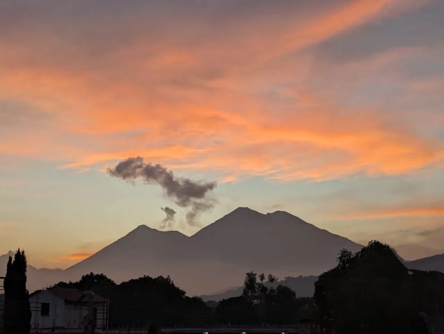
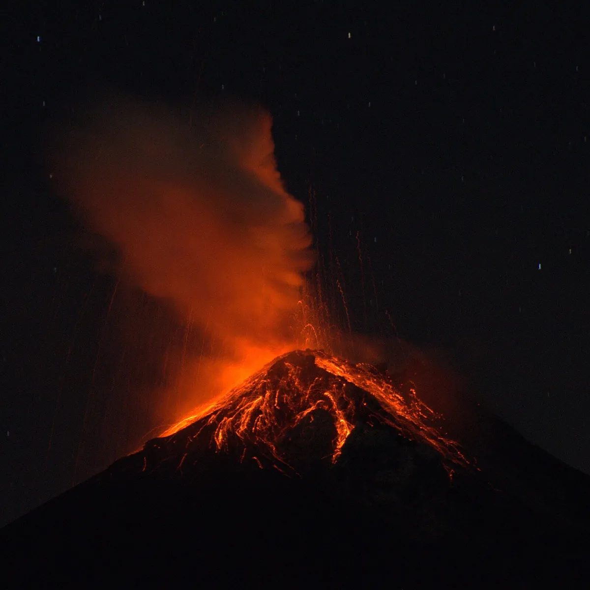
🌋 Fuego. “Erupting” is Fuego’s permanent condition since 2002 — that’s the attraction, not the alarm. The thing that disrupts plans is a paroxysm (2-10 per year): Acatenango hikes suspend, ash can briefly close the airport if winds blow toward the capital. Orange alert is its long-running normal level. Details: Volcanoes live page.
🌎 Earthquakes. Several small quakes a week is Guatemala’s baseline — the box flags when the 30-day count is just background noise. Catastrophic earthquakes are generational events (1976), not a trip-planning variable.
🚨 CONRED. Guatemala’s disaster agency. Its bulletins escalate department-by-department; a red alert in Izabal doesn’t affect Antigua. Alert levels explained (in Spanish, with the live feed): Alerta CONRED.
What This Page Doesn’t Cover: Crime
Natural hazards are the easy part — they’re measurable and we measure them live. Neighborhood-level crime safety is a different question with different data: homicide rates by department, which Guatemala City zones tourists use, road-trip risk. That lives in the Guatemala Safety guide, with the same data-first approach.
The Honest Baseline
Guatemala’s tourist circuit runs through the highlands — Antigua, Lake Atitlán, Quetzaltenango — where the year-round spring climate and volcanic scenery are the product. The operating reality:
| Season | What disrupts trips | Frequency |
|---|---|---|
| May–November (rainy) | Afternoon downpours, occasional tropical systems, daily volcano-canyon lahars | Rain daily; storms a few times per season |
| June–August | The canícula often delivers 2-3 surprisingly dry weeks — the hidden travel window | Most years |
| September–October | The real storm peak — saturated soil + Caribbean systems | The window to monitor closely |
| November–April (dry) | Almost nothing weather-wise; cold highland nights | — |
| Year-round | Fuego paroxysms (hike suspensions), small earthquakes (unfelt) | Paroxysms 2-10×/year |
Bottom line: check the live box above, plan rain-flexible days in the wet season, never drive mountain roads during a named storm, and the natural-hazard answer to “is it safe right now” is nearly always yes, with logistics.
Live Data Deep Dives
- Hurricane & Storm Tracker — forecast tracks, distance to Guatemala, GOES satellite
- Volcanoes — Fuego, Pacaya, Santiaguito with live alert levels
- Earthquake Tracker — last 30 days, live USGS
- Weather Hub — live rainfall vs 30-year average, all 22 departments
- Safety by Department — the crime-data side of the question
- Hurricane Season 2026 — the seasonal outlook