Guatemala Hurricane & Tropical Storm Tracker — Live
Live position, forecast track and distance to Guatemala for every active tropical cyclone in the Eastern Pacific and Atlantic/Caribbean. NOAA National Hurricane Center data, live GOES satellite imagery and CONRED alert level.
Active Cyclones Right Now
Forecast Track Map
Current position (solid dot) and NHC forecast track up to 120 hours (points labeled in Guatemala local time). The track is the probable center — rain and wind effects extend hundreds of kilometers from the center.
CONRED Alert Status
Latest bulletin: LA MOCHILA QUE ENSEÑA PREVENCIÓN (2026-07-24)
- Green Normal, no active threat
- Yellow Threat identified, dangerous event possible
- Orange Escalating trend, emergency likely
- Red Declared emergency, national response
Official source: conred.gob.gt · INSIVUMEH bulletins: insivumeh.gob.gt
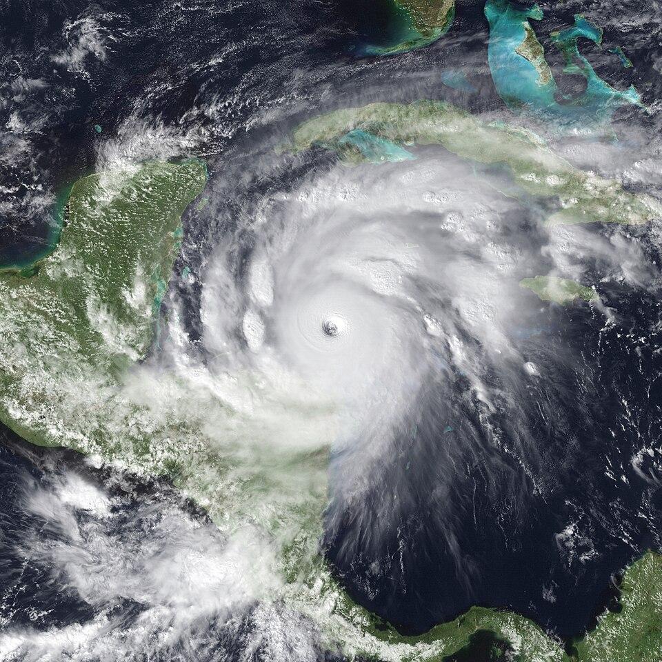
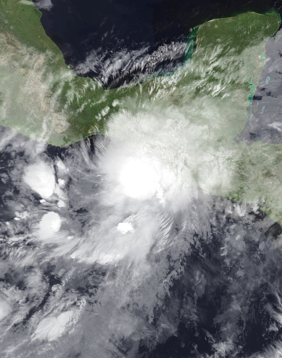
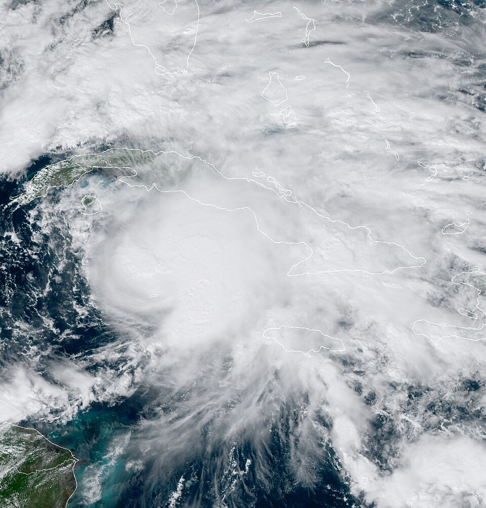
Live Satellite Image (GOES-19)

Central America sector, GeoColor — NOAA GOES-19 (GOES-East) satellite. Image refreshes roughly every 10 minutes; reload the page for the latest frame. Public domain, NOAA/NESDIS.
How to Read This Tracker
Guatemala is one of the few countries threatened from two oceans at once — Eastern Pacific storms that form just offshore in May-June, and Caribbean systems that cross Honduras into the highlands in September-November. This page merges both basins into a single Guatemala-centered view, something NOAA’s own site doesn’t do.
The number that matters most is the distance to Guatemala, not the category. Guatemala’s deadliest storm events — Mitch 1998 (~268 dead), Stan 2005 (~670 dead), Agatha 2010 (152 dead), Eta/Iota 2020 (~100+ dead) — were all rain disasters on weakening systems, several of which never made landfall in Guatemala at all. Saturated volcanic soil plus 200-400 mm of rain in 48 hours means landslides in the highlands and flash floods on the coast, regardless of wind speed.
What each data point means
| Field | Why it matters |
|---|---|
| Distance to GT (km) | Great-circle distance from the storm center to Guatemala’s centroid. Under ~500 km, outer rain bands typically reach the country. |
| Forecast closest approach | The minimum distance along the official NHC forecast track (next 120 h). Under 250 km = expect a national CONRED response. |
| Max winds / pressure | Intensity matters less than moisture for Guatemala — but stronger storms pull more Pacific moisture inland. |
| Movement | Slow-moving storms (under 10 mph) are the dangerous ones: they park rain over the same basins for days. |
The two-basin pattern
- Eastern Pacific (May-June peak for Guatemala): storms form in the warm pool directly south of the Guatemala-El Salvador coast and can reach the country within 48-72 hours of forming. This is the season’s early threat window.
- Caribbean (September-November peak): systems like Mitch, Eta and Iota make landfall in Honduras or Nicaragua and arrive over Guatemala as weakening but moisture-loaded remnants. The highlands of Alta Verapaz, Huehuetenango and Quiché take the worst landslide damage in this window.
For the full seasonal outlook, forecast context and month-by-month risk calendar, see the Hurricane Season Guatemala 2026 guide. For live rainfall accumulation by department — the best way to see a storm’s actual impact in real time — use the Weather Hub rainfall tracker.
History: Cyclones That Passed Within 200 km of Guatemala
From NOAA's HURDAT2 database (1851–2024). The key historical lesson: Guatemala's disasters (Mitch 1998, Stan 2005, Agatha 2010, Eta/Iota 2020) were rain events, not wind events — several never even made landfall in Guatemala.
| Storm | Year | Peak | Peak winds (mph) | Closest pass (km) | Dates near GT |
|---|---|---|---|---|---|
| Unnamed | 1945 | Cat 1 | 92 | 34.7 | 1945-10-04, 1945-10-05 |
| Nana | 2020 | Cat 1 | 75 | 45.8 | 2020-09-03, 2020-09-04 |
| Iris | 2001 | Cat 4 | 144 | 58.5 | 2001-10-09 |
| Laura | 1971 | TS | 69 | 58.8 | 1971-11-21, 1971-11-22 |
| Unnamed | 1934 | Cat 2 | 98 | 64.6 | 1934-06-06, 1934-06-07, 1934-06-08 |
| Unnamed | 1932 | Cat 4 | 144 | 64.6 | 1932-10-02 |
| Francelia | 1969 | Cat 2 | 98 | 65.5 | 1969-09-03, 1969-09-04 |
| Hattie | 1961 | Cat 5 | 167 | 69 | 1961-10-31, 1961-11-01 |
| Unnamed | 1949 | Cat 2 | 109 | 75.7 | 1949-09-28, 1949-09-29, 1949-09-30 |
| Unnamed | 1926 | TS | 40 | 83.7 | 1926-10-05 |
| Helene | 2012 | TS | 46 | 111.8 | 2012-08-15, 2012-08-16 |
| Felix | 2007 | Cat 5 | 173 | 111.8 | 2007-09-06 |
| Unnamed | 1994 | TD | 35 | 111.8 | 1994-09-26 |
| Unnamed | 1942 | TS | 52 | 113.5 | 1942-09-22, 1942-09-23 |
| Greta | 1978 | Cat 4 | 132 | 113.9 | 1978-09-19 |
The 15 closest passes out of 32 recorded cyclones within 200 km of Guatemala's centroid since 1851. Source: NOAA HURDAT2.
Frequently Asked Questions
Is there a tropical storm near Guatemala right now?
Check the live cards at the top of this page — they update from NOAA's National Hurricane Center feed every 6 hours during active storms, with the distance from each storm's center to Guatemala calculated in kilometers. When no cyclones are active, the tracker says so explicitly.
Do hurricanes hit Guatemala directly?
Direct hurricane-strength landfalls on Guatemala are rare — only a handful of systems since 1851 have passed within 200 km at hurricane intensity. The real danger is rain, not wind: Mitch (1998), Stan (2005), Agatha (2010) and Eta/Iota (2020) all caused catastrophic flooding and landslides in Guatemala while their centers were weak or even located in neighboring countries. A weakening tropical storm can be deadlier than a strong hurricane that stays offshore.
When is hurricane season in Guatemala?
Guatemala sits between two basins: the Eastern Pacific season runs May 15 to November 30, and the Atlantic/Caribbean season June 1 to November 30. Pacific storms tend to form close to the coast and affect Guatemala early in the season (May-June); Caribbean systems are more dangerous in September-November when they cross Central America from the east, wringing out rain over the highlands.
What do the CONRED alert colors mean?
CONRED (Guatemala's disaster agency) uses four levels: Green (normal), Yellow (threat identified, dangerous event possible), Orange (escalating, emergency likely — institutional response activates) and Red (declared emergency, national response). During tropical cyclone threats, alerts often escalate department-by-department rather than nationwide. Official source: conred.gob.gt.
How accurate is the forecast track?
NHC track forecasts average roughly 100 km of error at 24 hours and 250+ km at 72 hours. Treat the dashed line on the map as the center of a cone of possibilities, not a precise path — and remember rain bands extend hundreds of kilometers from the center, so 'the track misses Guatemala' does not mean 'no impact'.
What should I do to prepare for a tropical storm in Guatemala?
The practical basics: store 3 days of drinking water, charge phones and power banks before the rain starts (outages follow saturated ground), avoid river crossings and steep road cuts (CA-9, RN-7E and the Cito Zarco stretch close frequently), know whether your area is landslide-prone, and follow CONRED's official accounts. If you live near the Pacific coast lowlands (Escuintla, Retalhuleu, Suchitepéquez), watch for evacuation notices for river flooding.
Sources: NOAA National Hurricane Center (CurrentStorms + forecast track KMZ, updated every 6 hours during active storms), NOAA NESDIS GOES-19, NOAA HURDAT2, CONRED, INSIVUMEH. This page is informational — in an emergency follow official CONRED instructions.