- Status: loading…
- Current distance to Guatemala: —
- Max winds: — · Pressure: —
- Forecast closest approach: —
- Updated: —
Full forecast track map on the Live Storm Tracker.
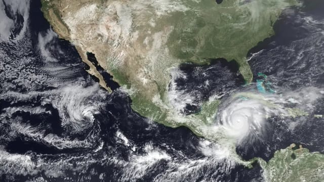
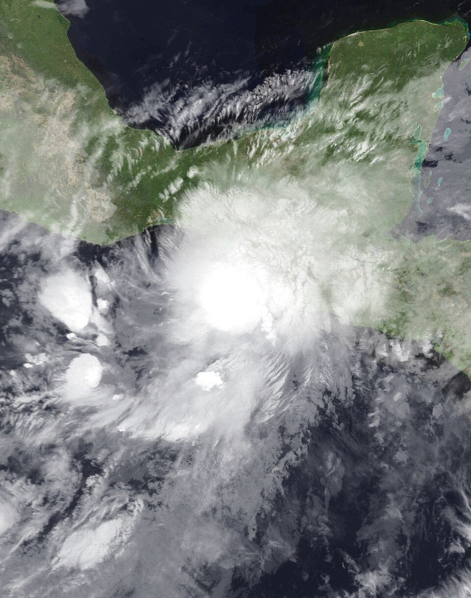
Tropical Storm Cristina — the third named storm of the 2026 Eastern Pacific season — formed off the Central American coast and is drifting slowly northwest, aimed at the Guatemala–El Salvador border region. Per the official National Hurricane Center forecast track, the system’s center is expected over Guatemalan territory on Thursday, crossing the country as a moisture-loaded tropical depression.
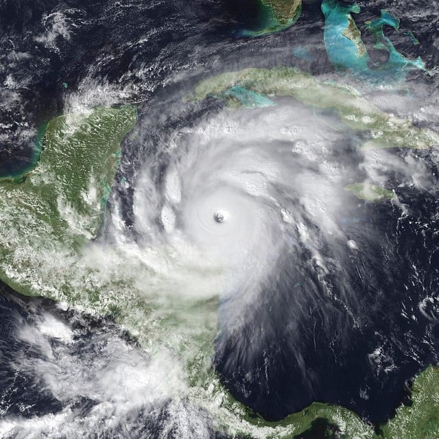
TL;DR (June 10): Cristina has ~40 mph winds and is moving slowly (~3 mph) — and that slowness is exactly what makes it dangerous for Guatemala. Slow storms park rain over the same drainage basins for days. CONRED has been on institutional orange alert since June 9. The main threat is NOT wind: it’s 100-300+ mm of accumulated rain, landslides in the highlands and boca costa, Pacific river flooding, and lahars on Fuego and Santiaguito. The direct precedent is Agatha (2010): nearly identical winds, 152 deaths.
The Forecast Track
Official NHC forecast points (advisory 9A/10, June 10, Guatemala local time):
| When | Forecast position | Intensity | Where that is |
|---|---|---|---|
| Wednesday 6 PM | 12.9°N, 89.3°W | ~46 mph (TS) | Offshore, south of the Salvadoran coast |
| Thursday 6 AM | 13.8°N, 89.9°W | ~40 mph (TS) | At the coast, GT–SV border area |
| Thursday 6 PM | 15.2°N, 90.5°W | ~29 mph (TD) | Inland, central Guatemala |
Three things to read from that table:
- Forecast landfall is Wednesday night into Thursday morning on Guatemala’s eastern Pacific coast or western El Salvador. With ~100 km average track error at 24 hours, anywhere between Escuintla and La Libertad (SV) is plausible.
- Rapid weakening over land is expected — and does not reduce the danger. The mountains wring the moisture out of the circulation; Cristina weakening over the highlands IS the mechanism that produces landslides.
- Thursday evening’s point (15.2°N, 90.5°W) falls near the Quiché / Alta Verapaz / Baja Verapaz junction — precisely the steep, saturated terrain where Hurricane Eta triggered the Quejá landslide in 2020.
The track refreshes every 6 hours — see the live map with every forecast point on the Storm Tracker.
For Travelers Currently in Guatemala
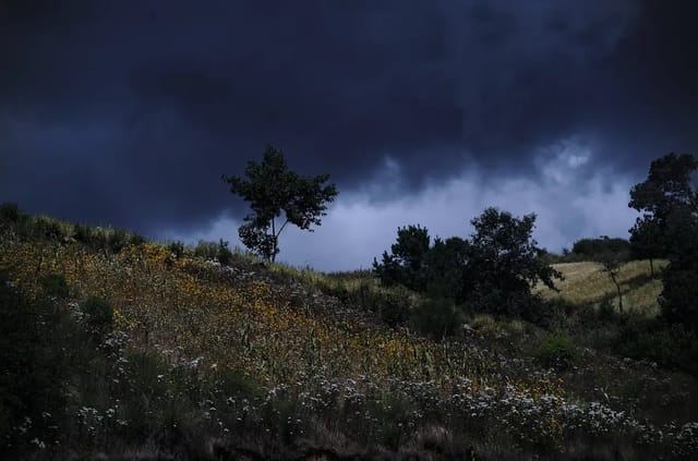
- Antigua / Guatemala City / Lake Atitlán: expect 24-48 hours of persistent rain, possible brief power cuts, and grey skies — not danger in the town cores. Indoor days; museums, cafés and Spanish classes run as normal.
- Do NOT drive mountain highways during peak rain (Wednesday night–Friday): the Cito Zarco stretch (Quetzaltenango–Retalhuleu), CA-9 south and rural highland roads close frequently for landslides.
- Pacific beach towns (Monterrico, El Paredón, Champerico): river flooding is the risk, not surf alone. Follow hotel/CONRED guidance; move inland if advised.
- Volcano hikes (Acatenango, Pacaya): tour operators will cancel — don’t argue with that call. Lahar-prone canyons below Fuego and Santiaguito are no-go while it rains.
- Flights at La Aurora (GUA): full closures are rare; delays and diversions are common in heavy afternoon rain. Confirm your flight status with the airline before heading to the airport.
Highest-Risk Areas
| Zone | Main risk | Departments |
|---|---|---|
| Pacific coast | River flooding, urban flooding | Escuintla, Santa Rosa, Suchitepéquez, Retalhuleu, Jutiapa |
| Boca costa (coffee slope) | Landslides, Cito Zarco road closure | San Marcos, lower Quetzaltenango, southern Sololá |
| Central/northern highlands | Landslides, cut rural roads | Quiché, Alta Verapaz, Baja Verapaz, Huehuetenango |
| Volcanic chain | Lahars during intense rain | Fuego slopes (Escuintla/Sacatepéquez/Chimaltenango), Santiaguito (Quetzaltenango/Retalhuleu) |
| Guatemala City | Flooded underpasses, fallen trees | Low zones and ravine edges |
Why a “Mere” Tropical Storm Matters Here
Guatemala doesn’t need hurricanes to suffer disasters. Agatha (May 2010) made landfall near Champerico with 45 mph winds — essentially Cristina’s strength — and killed 152 people, opened the infamous Zone 2 sinkhole, and dropped Guatemala’s heaviest rain since Mitch. Stan (October 2005) never even entered Guatemala as an organized storm and killed ~670, most in the Panabaj landslide above Lake Atitlán.
The pattern repeats: volcanic soil pre-saturated by weeks of seasonal rain + a slow cyclone adding 200-400 mm in 48 hours = landslides. So the number to watch isn’t Cristina’s category — it’s accumulated rainfall in your department, live against the 30-year average, on the rainfall tracker.
Follow the Storm Live
- Hurricane & Storm Tracker — position, forecast track map, distance to Guatemala, live GOES satellite
- Weather Hub — real-time accumulated rainfall by department
- Hurricane Season Guatemala 2026 — the full season outlook
- Rainy Season 2026 — the wider seasonal context