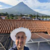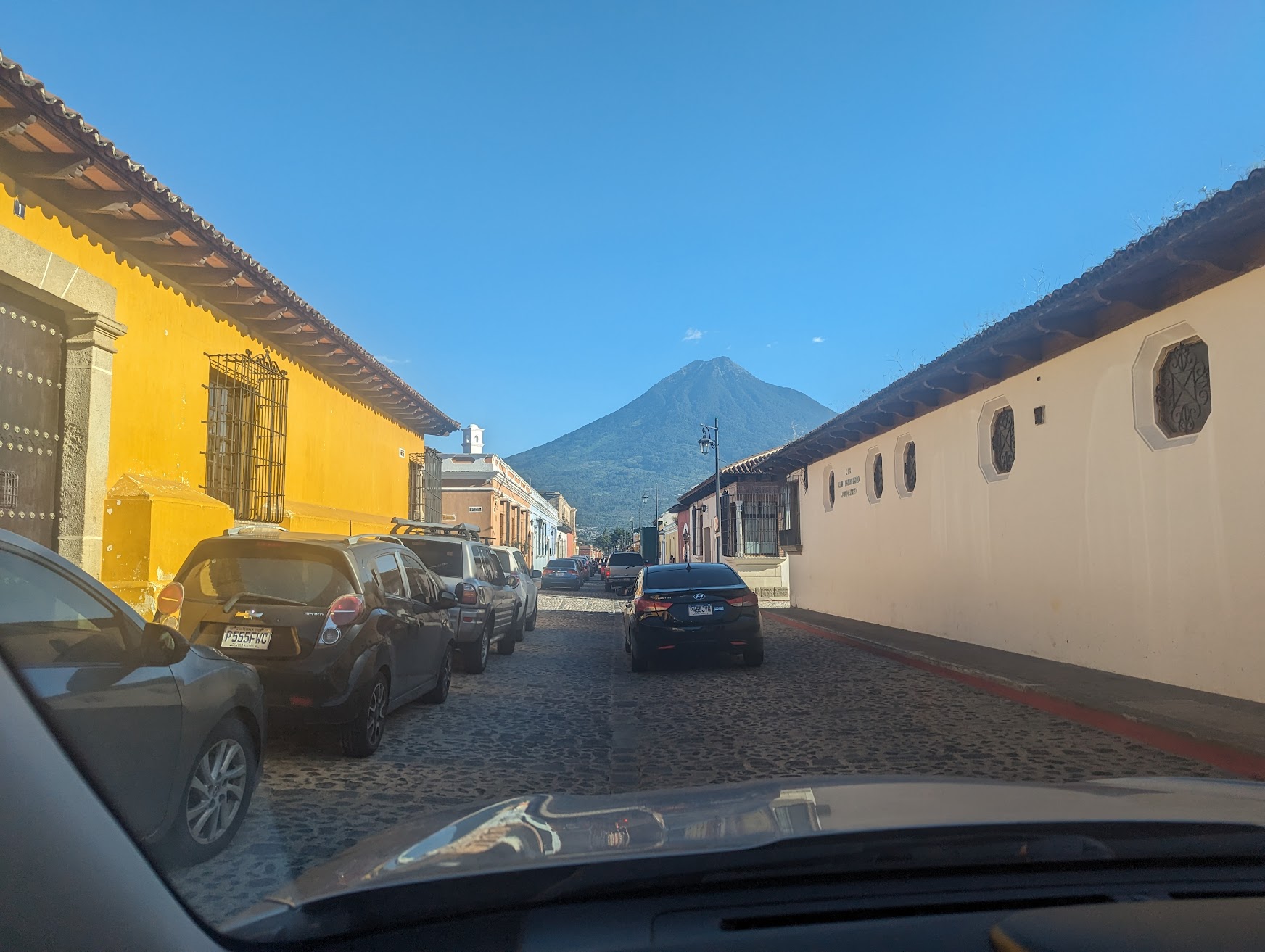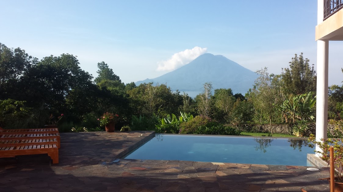
San Pedro volcano is the cone-shaped landmark that dominates the southwest shore of Lake Atitlan. At 3,020 meters, it’s not the tallest volcano in the region – Atitlan (3,537m) and Toliman (3,158m) are both higher – but San Pedro’s isolated cone shape and dense cloud forest make it the most rewarding single-day volcano hike at the lake.
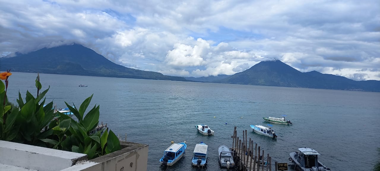
The trail takes you from the coffee farms at lake level through progressively thicker forest until you’re pushing through moss-draped cloud forest where visibility drops to a few meters. When you break through to the summit and look down at the lake 1,200 meters below, the scale of Atitlan hits you in a way that no lakeside viewpoint can match.
Quick Facts
| Detail | Info |
|---|---|
| Elevation | 3,020m (9,908 ft) |
| Duration | 4-5 hours up, 3-4 hours down (8-10 hours round trip) |
| Difficulty | Moderate to Hard |
| Elevation Gain | ~1,200m from San Pedro La Laguna |
| Entry Fee | Q100 (~$13 USD) |
| Guide Fee | Q150-200 (~$20-26 USD) |
| Best Months | November-April (dry season) |
| Start Point | Park office in San Pedro La Laguna |
| Guide Required | Effectively yes (mandatory registration at park office) |
The Trail
Lower Section – Coffee Farms (0-45 minutes)
The hike begins at the park office on the north side of San Pedro La Laguna. After registering and paying, you follow a wide path through coffee plantations and small agricultural plots. This section is the most gradual and gives you time to warm up before the real climbing starts.
You’ll see coffee plants at various stages – depending on the season, you might catch the flowering (fragrant white blossoms) or the red cherries ready for harvest. The Tz’utujil Maya families who live here have been farming these slopes for generations.
Mid-Section – Transition Forest (45 minutes - 2 hours)
The trail steepens significantly and enters denser forest. Oaks, pines, and broadleaf trees create a closed canopy overhead. The path becomes narrower and more root-crossed. In rainy season (June-October) or after recent rain, this section gets muddy – seriously muddy. Ankle-deep mud on steep grades is common.
This is where the workout begins. The trail ascends relentlessly with few flat sections for rest. Take your time. There’s no shame in stopping every 10-15 minutes to catch your breath – the altitude is already noticeable at this point.
Upper Section – Cloud Forest (2-4 hours)
This is what makes San Pedro special. Above roughly 2,400m, you enter true cloud forest. The trees become shorter and more gnarled, every branch covered in thick moss, bromeliads, and orchids. On misty mornings, visibility drops and the forest takes on an otherworldly quality.
Keep your eyes and ears open for wildlife. The resplendent quetzal – Guatemala’s national bird – lives in these cloud forests. Sightings are rare but not impossible, especially between February and April during nesting season. You’re more likely to hear its distinctive call (a low, repeated “wahh-wahh”) than to see one. Howler monkeys are also present, and you’ll definitely hear them if they’re nearby.
The trail in this section is steep, muddy, and sometimes requires pulling yourself up using tree roots. Good hiking boots with ankle support are important here.
Summit (4-5 hours from start)
The summit area is a small rocky clearing in the forest. On clear days, the view is extraordinary:
- Lake Atitlan spread out 1,200m below, its deep blue surface visible between the trees
- Volcan Toliman and Volcan Atitlan directly across the lake
- Indian Nose visible as a small bump on the far ridge
- The lakeside villages scattered along the shore
- On exceptionally clear days, you can see the Pacific lowlands to the south
The key word is “clear.” Clouds build throughout the morning, and by 10-11 AM the summit is often socked in. This is why starting early matters so much.
Getting There
To San Pedro La Laguna
San Pedro is accessible by boat from Panajachel. Lanchas (small passenger boats) run frequently throughout the day and cost Q25 per person, taking about 20-25 minutes. Boats also run from San Marcos La Laguna (Q15, 10 minutes) and other lakeside towns.
If you’re coming from Guatemala City or Antigua, take a bus or shuttle to Panajachel first (3-4 hours from Antigua, Q60-150 depending on shuttle vs chicken bus), then the lancha to San Pedro.
To the Trailhead
The park office is on the northwest edge of San Pedro La Laguna, about a 15-minute walk from the main dock. Any tuk-tuk driver in town knows where it is (Q5-10). You register here, pay the entry fee, and get assigned a guide.
When to Go
Start time: 5:00-6:00 AM. This gives you the best chance of summit views before clouds move in. The park office opens early to accommodate hikers.
Best months: November through April (dry season). The trail is drier, views are clearer, and the overall experience is more enjoyable.
Rainy season (June-October): Doable but significantly harder. The trail becomes a mud gauntlet and summit views are rare. If you go in rainy season, accept that you’re doing it for the forest experience, not the views.
What to Bring
- Hiking boots – the single most important item. The trail is steep, muddy, and root-covered. Sneakers or sandals are a recipe for rolled ankles and misery.
- 3 liters of water – there’s no water source on the trail. You’ll sweat a lot on the climb.
- Rain jacket – even in dry season, cloud forest means moisture. You will get damp from fog even if it doesn’t rain.
- Layers – it’s warm at the base and can be cold and windy at the summit. A light fleece plus rain jacket is enough.
- Lunch and snacks – you’ll be out 8-10 hours. Bring more food than you think you need.
- Sunscreen and hat – the summit clearing has no shade.
- Camera – if you get clear summit views, they’re spectacular.
- Cash – for entry fee, guide, and food/drinks back in town.
Costs Breakdown
| Item | GTQ | USD (approx) |
|---|---|---|
| Park entry fee | Q100 | $13 |
| Guide | Q150-200 | $20-26 |
| Lancha from Panajachel | Q25 | $3 |
| Tuk-tuk to park office | Q5-10 | $1 |
| Lunch in San Pedro after | Q40-80 | $5-10 |
| Total budget | Q320-415 | $42-54 |
Prices as of early 2026. See current exchange rates for up-to-date conversion.
After the Hike
You’ll get back to San Pedro La Laguna exhausted and starving. Good news – San Pedro has arguably the best food scene at Lake Atitlan. A few recommendations:
For a big meal: The restaurants along the main drag between the two docks serve solid Guatemalan and international food. Look for places with visible kitchens and local clientele. A big lunch with a drink will cost Q40-80 ($5-10).
For recovery drinks: Several cafes in San Pedro serve excellent smoothies and fresh juices. After 8-10 hours on the trail, a big fruit smoothie is exactly what you need.
For evening plans: San Pedro has the most active nightlife at the lake. Bars along the waterfront stay open late, and the backpacker vibe means you’ll find fellow hikers to swap stories with.
Difficulty Assessment
Be honest with yourself about this one. San Pedro is marketed as “moderate” by some tour operators, but the 1,200m elevation gain over rough terrain makes it genuinely hard for anyone who doesn’t exercise regularly. Here’s a rough guide:
- Fit and active: You’ll enjoy it. 4-5 hours up, manageable pace.
- Average fitness: You can do it, but it will be tough. Budget 5-6 hours up and take frequent breaks.
- Limited hiking experience: Consider starting with Indian Nose or Hobbitenango to gauge your comfort level.
Altitude is a factor too. If you’ve just arrived in Guatemala from sea level, give yourself at least 2-3 days to acclimatize at lake elevation (1,560m) before attempting the volcano.
Compared to Other Atitlan Hikes
| Hike | Difficulty | Time | Best For |
|---|---|---|---|
| Indian Nose | Easy | 1-2 hrs | Sunrise, photography |
| San Pedro Volcano | Moderate-Hard | 8-10 hrs | Cloud forest, challenge |
| Atitlan Volcano | Very Hard | 10-12 hrs | Experienced hikers only |
San Pedro is the middle ground at Lake Atitlan – harder than the casual walks and viewpoints, but accessible to anyone in decent shape without technical climbing skills.
For an easier Lake Atitlan sunrise experience, see Indian Nose. Browse all trails in our hiking directory or check current exchange rates for cost planning.