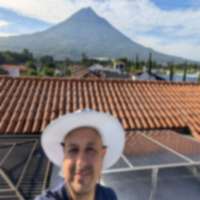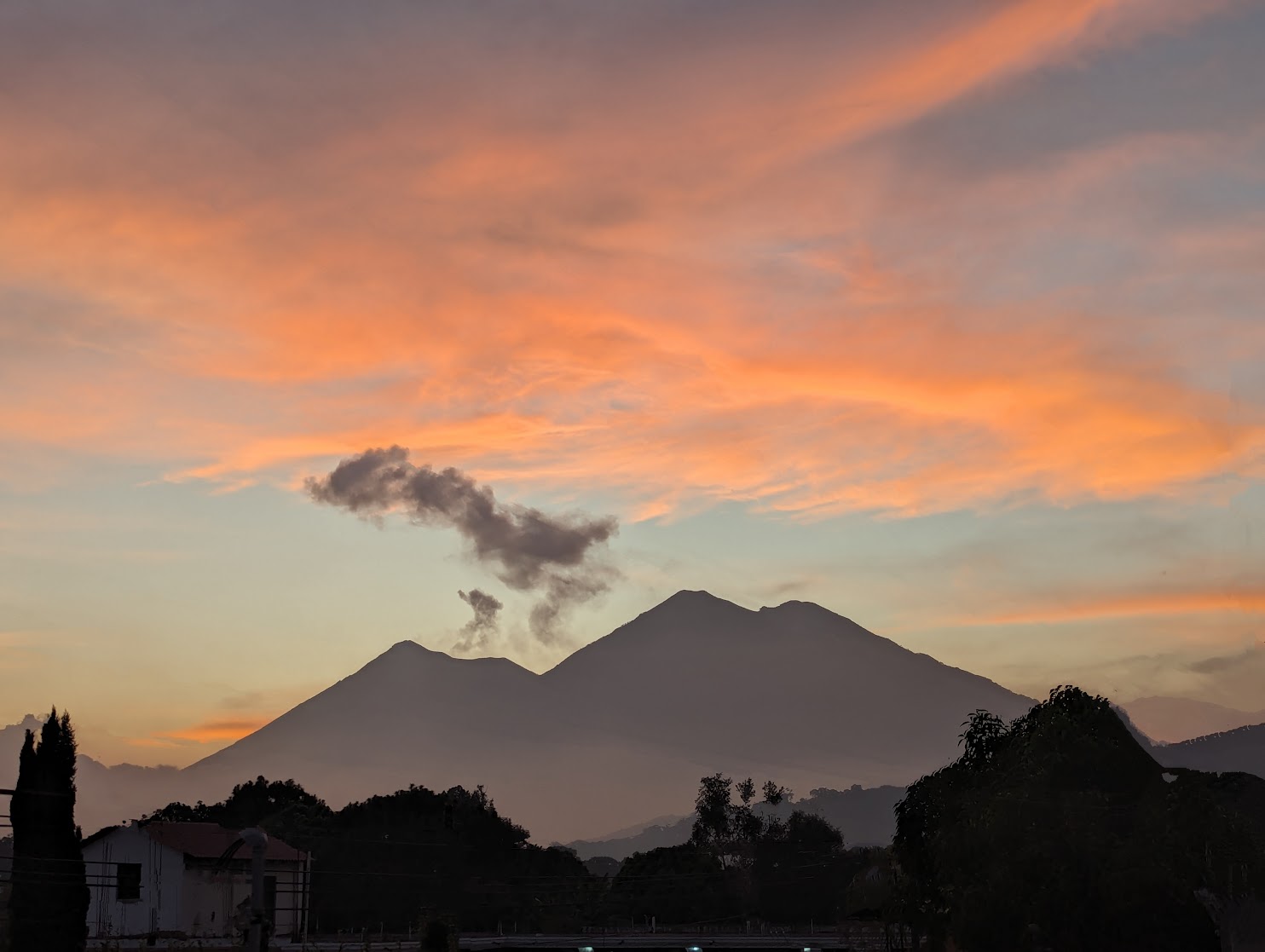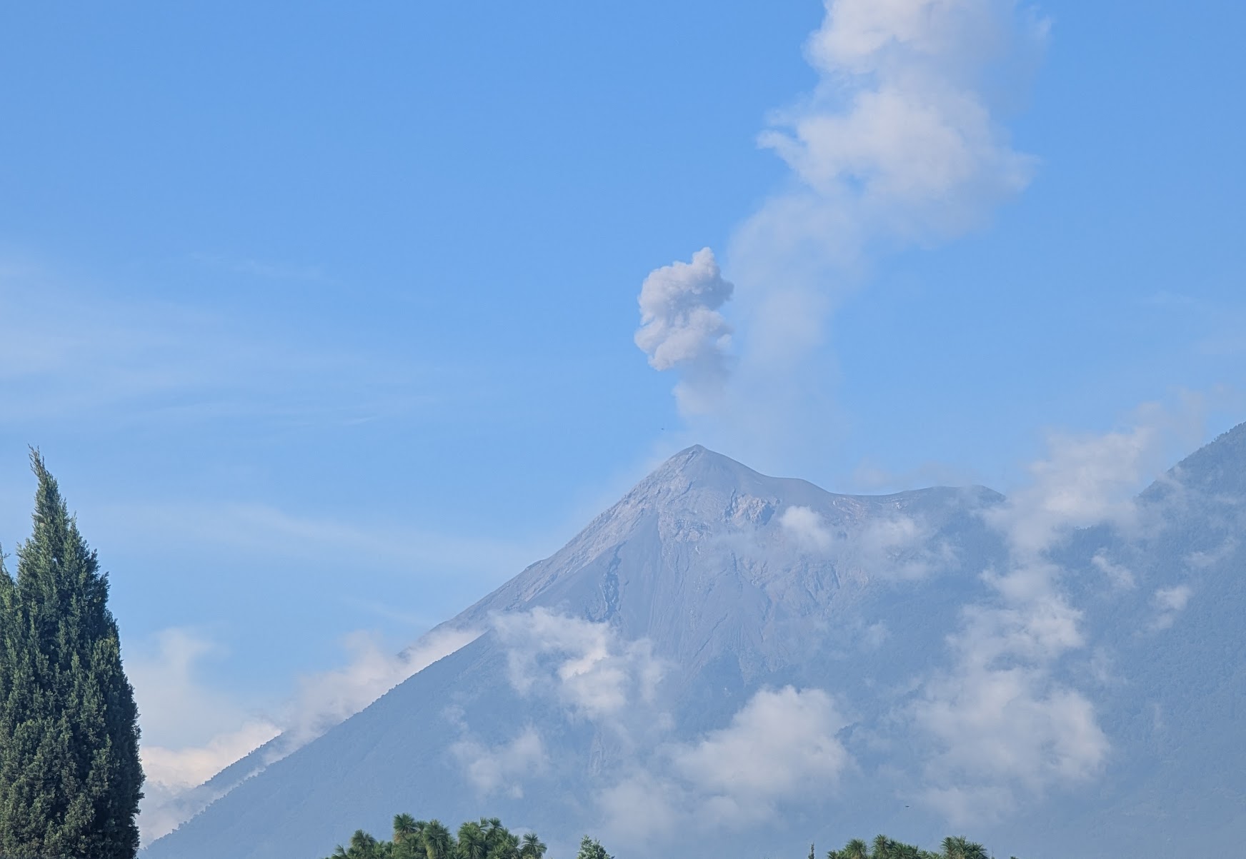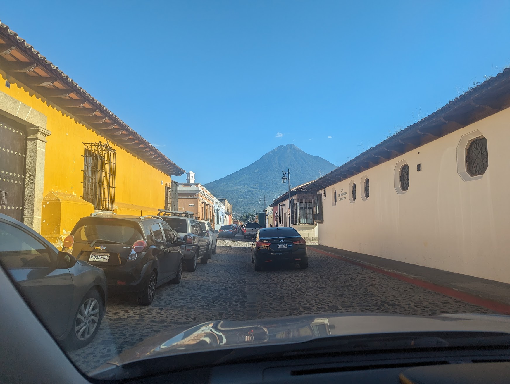
Every visitor to Antigua sees it – the perfect volcanic cone rising south of the city, towering over colonial rooftops, framed by the Santa Catalina Arch. That is Volcan de Agua, 3,766 meters of dormant stratovolcano that defines Antigua’s skyline. What most visitors do not realize is that you can walk to the top of it.
Agua does not have the drama of watching Fuego erupt like Acatenango offers, and it does not have the marshmallow gimmick of Pacaya. What it has is a brutally honest hike – steep from the first step to the last – and a 360-degree summit panorama that puts you above everything: Guatemala City, the Pacific coast, the entire volcanic chain, and the highlands stretching north.
Quick Facts
| Detail | Info |
|---|---|
| Elevation | 3,766m (12,356 ft) |
| Duration | 10-12 hours round trip (or overnight) |
| Difficulty | Moderate to Hard |
| Elevation Gain | ~1,800m from Santa Maria de Jesus |
| Park Entry | Q50 ($6.50 USD) |
| Guide Fee | Q100-200 ($13-26 USD), recommended |
| Best Months | November - April (dry season) |
| Trailhead | Santa Maria de Jesus village |
| Nearest City | Antigua Guatemala (30 minutes) |
The Trail
Starting Point – Santa Maria de Jesus
The hike begins from Santa Maria de Jesus, a small indigenous Kaqchikel village perched on the lower slopes of the volcano, about 30 minutes by collectivo from Antigua. The village sits at approximately 2,000 meters, meaning you have 1,800 meters of elevation to gain – one of the biggest single-day elevation gains of any Guatemala hike.
At the village entrance, there is a registration point where you pay the Q50 entry fee. Local guides are available here and cost Q100-200 depending on group size and negotiation. A guide is not technically mandatory like on Acatenango or Pacaya, but it is strongly recommended. The trail is not always well-marked, cloud cover can disorient you in the upper sections, and security incidents have been reported on occasion.
Lower Section – Farmland and Forest (2-3 hours)
The trail starts through the agricultural terraces above Santa Maria de Jesus – corn, beans, and coffee plantations on the volcano’s fertile lower slopes. The gradient is immediate. There is no warm-up. Within 20 minutes, you are climbing steeply.
After leaving the farmland, you enter mixed pine-oak forest. The trail is a well-worn path, muddy after rain, with tree roots and rocks providing irregular steps. This section is steady, predictable climbing. Your breathing deepens as you pass 2,500m, then 3,000m.
Upper Section – The Grind (2-3 hours)
Above the tree line, the character of the hike changes. Vegetation thins to scrubby bushes, then sparse grass. The trail becomes steeper and more exposed. Wind picks up significantly. The footing shifts to loose volcanic soil and rock – similar to Acatenango but sustained for longer.
The final approach to the summit is the most demanding part. The slope exceeds 45 degrees in places, the ground is loose, and the thin air at 3,700m makes every step harder than it should be. Many hikers describe this last section as the hardest part of any volcano hike in Guatemala – not because of technical difficulty, but because the steepness simply does not relent.
The Summit
The summit of Agua features a shallow crater, now filled in and covered with grass. There are some communication towers here, which slightly diminish the wilderness feel, but the views more than compensate.
On a clear day, you see:
- North: The Guatemalan highlands, Sierra de las Minas
- East: Guatemala City sprawling across the valley
- South: The Pacific coastal plain stretching to the ocean
- West: Volcan de Fuego and Acatenango – and if Fuego is erupting, you see it from a completely different angle than the Acatenango campers
- Directly below: Antigua Guatemala, its grid of colonial streets and red roofs miniaturized by distance
Camping at the Summit
The flat area inside the crater provides a sheltered camping spot, though “sheltered” is relative – wind at 3,766m can be fierce. If you choose to overnight:
- Bring a 4-season tent or at least a very sturdy 3-season tent with good wind resistance
- Sleeping bag rated to -5C minimum – summit temperatures routinely drop below freezing
- Bring all your own food, water (3+ liters), and cooking equipment
- There are no facilities, no shelters, no water source at the top
The reward for camping is the sunrise. Watching the Pacific coast light up while Guatemala City glitters below in the pre-dawn darkness is remarkable. The morning light on the surrounding volcanoes – Fuego, Acatenango, Pacaya – makes the cold night worth enduring.
Historical Significance
The name “Volcan de Agua” – Volcano of Water – comes from one of the most devastating events in Guatemalan colonial history. On September 11, 1541, after days of heavy rain and a small earthquake, the volcano’s crater released a massive lahar (a flow of water, mud, and volcanic debris) that swept down the slopes and destroyed Santiago de los Caballeros – the Spanish colonial capital at what is now Ciudad Vieja, just a few kilometers from modern Antigua.
The disaster killed hundreds, including the acting governor Dona Beatriz de la Cueva, who had taken office only two days before. The surviving colonists relocated their capital to the Panchoy Valley – founding the city we know today as Antigua Guatemala. So in a very direct way, Antigua exists because of Volcan de Agua.
Getting There
By collectivo from Antigua: Walk to the market area near the bus terminal on the south side of Antigua. Collectivos (shared minibuses) to Santa Maria de Jesus leave regularly throughout the morning, cost Q5 ($0.65 USD), and take about 30 minutes. Tell the driver you are hiking the volcano and he will drop you at the most convenient spot.
By taxi or tuk-tuk: A private tuk-tuk from central Antigua to Santa Maria de Jesus costs Q40-60 ($5-8 USD). A taxi runs Q80-120 ($10-16 USD).
By car: Take the road south from Antigua toward Santa Maria de Jesus. The road is paved but narrow and winding. Parking in the village is informal – ask at a tienda near the trailhead if you can leave your car.
Where to eat: Santa Maria de Jesus has a few small comedores serving basic Guatemalan food – eggs, beans, tortillas, coffee. Eat a substantial breakfast before starting. There is nothing on the trail. On your return, the village comedores are a welcome sight after 10+ hours of hiking.
What to Bring
For a day hike:
- 3 liters of water minimum (there is no water source on the trail)
- Sturdy hiking boots with ankle support
- Warm layers – the summit is cold even on sunny days
- Rain jacket
- Headlamp (if starting early for sunrise)
- Sunscreen and hat
- Lunch, snacks, and electrolytes
- Cash for entry fee and transport
For overnight:
- Everything above, plus:
- 4-season tent
- Sleeping bag rated to -5C or colder
- Sleeping pad
- Extra water (carry 4-5 liters total)
- Dinner and breakfast supplies
- Warm camp clothes separate from hiking clothes
Costs Breakdown
| Item | GTQ | USD (approx) |
|---|---|---|
| Collectivo (Antigua to village) | Q5 | $0.65 |
| Park entry | Q50 | $6.50 |
| Local guide | Q100-200 | $13-26 |
| Tuk-tuk back to Antigua | Q40-60 | $5-8 |
| Food and water | Q30-50 | $4-6.50 |
| Total (day hike, budget) | Q225-365 | $29-48 |
| Total (day hike, comfortable) | Q300-460 | $39-60 |
Prices verified March 2026. See current exchange rates for exact USD conversion.
Tips
-
Start at dawn or earlier. Leave Santa Maria de Jesus by 5-6 AM at the latest. You want to summit before clouds build, typically by 10-11 AM. An early start also means descending in daylight.
-
Do not skip the guide. While not legally mandatory, the trail has multiple forks in the forested sections. Getting lost in cloud forest on a 3,700m volcano is a serious situation. Guides know the weather patterns and can make judgment calls about when to turn back.
-
This hike is harder than it looks. The relentless steepness from bottom to top makes Agua’s 1,800m gain feel harder than Acatenango’s 1,500m. There are almost no flat sections to recover. Pace yourself from the start.
-
Agua is drier than Acatenango. The south-facing slopes get more sun and less cloud cover. But above the tree line, wind exposure is more intense. Bring a windbreaker even if skies look clear.
-
Combine with Antigua sightseeing. Unlike Acatenango (a 2-day commitment), Agua can be done as a day hike if you start early enough. Spend the morning summiting, the afternoon exploring Antigua.
Related Pages
- All Guatemala Hiking Trails – Complete trail directory
- Acatenango Volcano – Guatemala’s most popular overnight hike
- Pacaya Volcano – Easy volcano hike near Antigua
- Antigua Guatemala – Base city for volcano hikes
- Exchange Rates – Current GTQ/USD conversion