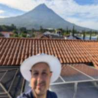
There are places in the world where you can watch an active volcano erupt. There are fewer places where you can watch one erupt from above, looking straight down into the crater. Santa Maria volcano, just outside Quetzaltenango, is one of those places.
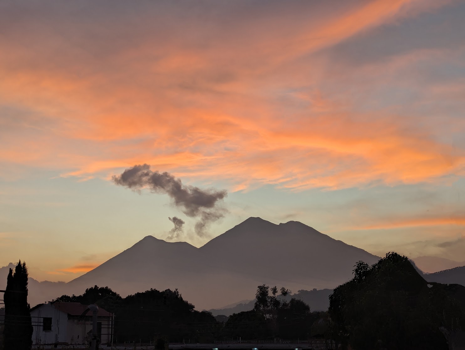
From Santa Maria’s 3,772-meter summit, you look directly down at Santiaguito – a volcanic dome complex growing on Santa Maria’s flank that has been in continuous eruption since 1922. Multiple times a day, Santiaguito sends up columns of ash and steam, sometimes accompanied by small pyroclastic flows that roll down its flanks. You watch all of this from a front-row seat 1,000 meters above.
This is not the easiest hike in Guatemala. The trail gains 1,500 meters over roughly 5 hours of steep, forested climbing. But for the experience of watching an eruption from above at sunrise, it is hard to beat.
Quick Facts
| Detail | Info |
|---|---|
| Elevation | 3,772m (12,375 ft) |
| Duration | 8-10 hours round trip |
| Difficulty | Hard |
| Elevation Gain | ~1,500m from Llanos del Pinal |
| Park Entry | Q50 ($6.50 USD) suggested donation |
| Guide Fee | Q100-150 ($13-20 USD) |
| Best Months | November - March (dry season) |
| Trailhead | Llanos del Pinal |
| Nearest City | Quetzaltenango / Xela (20 minutes) |
The 1902 Eruption – Historical Context
Before describing the hike, it is worth understanding what Santa Maria is. On October 24, 1902, after being dormant for at least 500 years, Santa Maria exploded in one of the largest volcanic eruptions of the 20th century. The blast – rated VEI 6 on the Volcanic Explosivity Index – removed a massive chunk of the mountain’s southwest flank, killing an estimated 5,000-6,000 people and blanketing western Guatemala in ash.
The crater left by that eruption is still clearly visible from Xela – a huge bite taken out of the mountain’s symmetrical cone. And within that crater, starting in 1922, Santiaguito began growing. It is one of the most studied volcanic domes in the world because it has been continuously active for over a century, offering volcanologists a rare opportunity to observe dome growth in real time.
When you hike Santa Maria, you are walking up the intact eastern flank of a volcano that blew apart just 124 years ago, looking down into the crater where its offspring is still erupting. The geology is written on the landscape.
The Trail
Start Time – This Is Critical
Start between 3 and 4 AM. This is not optional if you want the full experience. There are two reasons:
-
Sunrise at the summit. Watching the sun rise over the highlands while Santiaguito erupts below you in the golden morning light is the entire point. By mid-morning, clouds typically fill the valley and obscure Santiaguito completely.
-
View window. Clear views of Santiaguito are almost exclusively a morning phenomenon. Thermal convection builds clouds throughout the day. By 9-10 AM, even in dry season, the lower slopes are usually socked in.
Llanos del Pinal to Summit (4-5 hours)
The hike starts from Llanos del Pinal, a small community on the outskirts of Xela at roughly 2,300 meters. From there, you have 1,500 meters of vertical gain to cover.
First 1-2 hours – Agricultural land and lower forest: The trail passes through farmland and enters pine forest. In the dark with headlamps, this section is straightforward – a well-worn path through trees. The grade is steep from the start. There is no flat warm-up section on Santa Maria.
Hours 2-3 – Dense cloud forest: The trail steepens further as you climb through thick cloud forest. Moss, epiphytes, and ferns cover everything. The footing is roots and rocks, sometimes muddy. In the dark, a headlamp with good throw is essential – the canopy blocks moonlight completely.
Hours 3-4 – Upper forest and exposed ridge: The forest begins to thin. You emerge from the canopy onto a more exposed ridge with views opening up. The wind increases. If you timed it right, the eastern sky is starting to lighten.
Final hour – Summit approach: The last section is the steepest and most demanding. Loose volcanic rock and soil on a steep gradient, with thin air at 3,700m making every step labored. The trail follows the ridgeline to the summit, which is a relatively small, exposed area.
At the Summit
The summit of Santa Maria is not large – a rocky point with barely enough room for a dozen people. But the views are immense.
Looking southwest and directly below, you see Santiaguito. The dome complex sits about 1,000 meters below you in the massive crater left by the 1902 eruption. If you are fortunate with timing – and you usually are, since Santiaguito erupts multiple times daily – you will see an eruption from directly above. The ash column rises from the dome while you look down on it. The scale is difficult to process. Sometimes you hear the eruption a few seconds after seeing it, the sound delayed by distance.
In other directions:
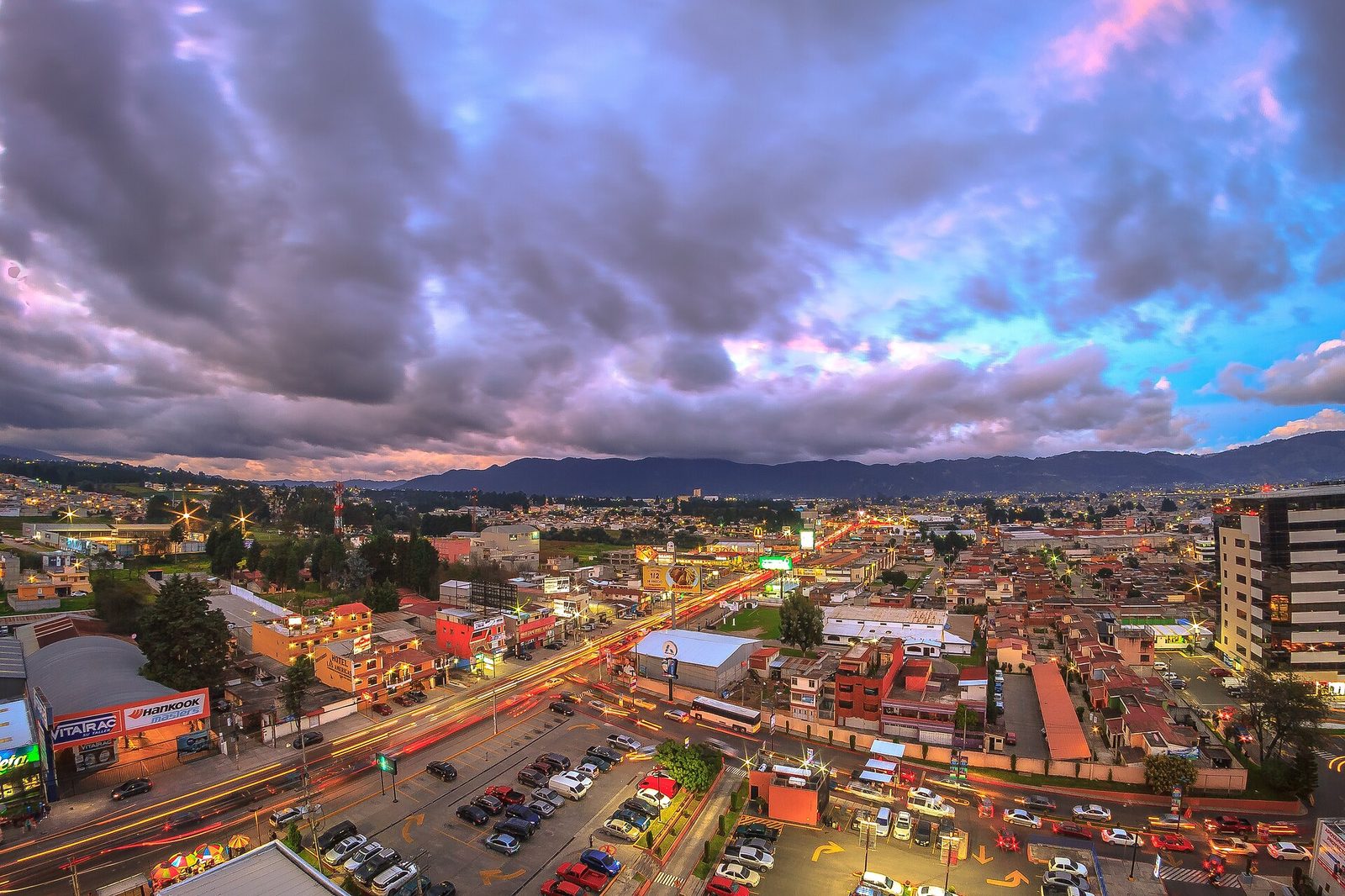
- North and East: Quetzaltenango sprawls across the valley, the second-largest city in Guatemala, with the highlands stretching behind it
- Southeast: On clear days, Volcan de Fuego and Acatenango are visible 100+ kilometers away
- Northwest: Tajumulco, Central America’s highest peak, rises on the horizon
- South: The Pacific slope drops precipitously toward the coast
The Descent (3-4 hours)
The descent follows the same trail. It is faster but punishing on the knees due to the sustained steepness. Bring trekking poles if you have them. Most groups are back at Llanos del Pinal by late morning.
Santiaguito – What You Are Watching
Santiaguito is not one volcano but a complex of four overlapping lava domes: Caliente, La Mitad, El Monje, and El Brujo. The currently active vent is Caliente, at the western edge of the complex.
Eruptions range from:
- Gas and steam venting – constant, visible as a white plume
- Ash eruptions – several times daily, producing gray-brown columns that rise 500-3,000 meters above the dome
- Block-and-ash flows – periodic collapses of the dome’s unstable edges send hot debris cascading down the flanks. These are the most dramatic events but less frequent.
- Pyroclastic flows – rare but documented; these are the dangerous ones that flow downslope at high speed
From Santa Maria’s summit, you are at a safe distance – about 2 kilometers horizontally and 1,000 meters vertically above Santiaguito. INSIVUMEH monitors the complex continuously, and if activity escalates beyond normal parameters, they issue alerts.
Getting There
Llanos del Pinal is a 15-20 minute ride from central Quetzaltenango.
By tuk-tuk from Xela: The most common option. A tuk-tuk from the central park to Llanos del Pinal costs Q20-30 ($2.60-4 USD). At 3 AM, you may need to arrange this the night before – ask your hostel to call one. Some drivers know exactly where hikers start and will take you to the trailhead.
By pickup/taxi: Q40-60 ($5-8 USD) from central Xela.
By tour: Several agencies and hostels in Xela organize Santa Maria hikes. Quetzaltrekkers is a well-known nonprofit operator that runs guided hikes with the proceeds funding local education projects. Tour prices range from Q100-300 ($13-39 USD) depending on the operator and group size.
Where to park: If driving, you can park near the community buildings at Llanos del Pinal. It is best to let someone local know you are leaving a car – ask at the nearest tienda.
Where to eat: Nothing is available at the trailhead at 3 AM. Eat dinner the night before in Xela and pack breakfast and snacks for the trail. After the hike, the comedores in Llanos del Pinal or back in Xela will have food. Xela’s Central Park area has plenty of restaurants – a post-hike meal at one of the cafes on the parque is a good reward.
What to Bring
- Headlamp – absolutely essential; you hike 3+ hours in complete darkness
- Spare batteries or backup light – do not risk running out on a dark mountain trail
- Warm layers – thermal base, fleece, windbreaker. Summit is cold and windy.
- Rain jacket – even in dry season, the cloud forest section can be wet
- 2-3 liters of water – no water source on the trail
- Snacks and breakfast – energy bars, fruit, sandwiches
- Good hiking boots – the trail is steep, rocky, and often muddy
- Trekking poles – highly recommended for the descent
- Camera – for Santiaguito eruption photos (a zoom lens helps)
- Sunscreen and hat – for the exposed upper section and summit after sunrise
- Cash – for guide, transport, and suggested park entry
Costs Breakdown
| Item | GTQ | USD (approx) |
|---|---|---|
| Tuk-tuk to trailhead (round trip) | Q40-60 | $5-8 |
| Park entry (suggested donation) | Q50 | $6.50 |
| Local guide | Q100-150 | $13-20 |
| Guide tip | Q25-50 | $3.25-6.50 |
| Food and water | Q30-50 | $4-6.50 |
| Total (independent, budget) | Q245-360 | $32-47 |
| Total (organized tour from Xela) | Q100-300 | $13-39 |
Prices verified March 2026. See current exchange rates for exact USD conversion.
Tips
-
3 AM start is not negotiable. I cannot stress this enough. If you leave at 5 AM, you will summit after clouds have obscured Santiaguito. You might see nothing but fog. The entire point of this hike is the sunrise view of Santiaguito erupting below you. Set your alarm.
-
Stay in Xela the night before. Trying to travel from Antigua or Guatemala City and hike the same day means arriving exhausted and sleep-deprived. Spend at least one night in Xela. The city is worth exploring anyway – it is Guatemala’s second-largest city with excellent food, coffee, and colonial architecture at a fraction of Antigua’s tourist prices.
-
Combine with Tajumulco. If you are already in the Xela area, consider doing both Santa Maria and Tajumulco on the same trip. Santa Maria first (one day, good altitude acclimatization), rest a day, then Tajumulco (two days). This gives you two of Guatemala’s most impressive summits in one week.
-
The descent is harder than the ascent. Sounds counterintuitive, but the sustained steepness of Santa Maria’s trail is brutal on knees and quads going down. Poles make a significant difference. Step carefully on loose volcanic rock in the upper section.
-
Check Santiaguito’s activity. While Santiaguito erupts daily, the intensity varies. INSIVUMEH posts bulletins on their website. CONRED also monitors conditions. Your guide will know the current activity level. More activity means more to see from the summit.
-
Support Quetzaltrekkers. If you go with a guided tour, consider booking with Quetzaltrekkers. They are a well-established nonprofit where all proceeds fund education programs for at-risk youth in Xela. Same hike, same mountain, but your money goes to the community.
Related Pages
- All Guatemala Hiking Trails – Complete trail directory
- Tajumulco – Central America’s highest peak, also near Xela
- Acatenango Volcano – Guatemala’s most popular overnight hike
- Quetzaltenango (Xela) – Base city for western highland hikes
- Exchange Rates – Current GTQ/USD conversion