Guatemala does not have four seasons. It has two: dry season (November to April) and rainy season (May to October). Guatemalans call the dry season “verano” (summer) and the rainy season “invierno” (winter), which confuses visitors since the rainy months overlap with the Northern Hemisphere’s actual summer.
If you are planning a trip, moving to Guatemala, or simply trying to understand the climate, the rainy season is the single most important weather pattern to understand. It shapes daily routines, travel logistics, agriculture, road conditions, and even prices. This guide breaks it down month by month so you know exactly what to expect in 2026.
Quick summary: Rain falls mainly between 2:00 and 5:00 PM. Mornings are almost always clear. The heaviest months are September and October. The best rainy-season months to visit are June and early July. The western highlands get less rain than the lowlands. Prices drop 20-40% compared to dry season.
How the Rainy Season Works
Guatemala’s rainfall follows a remarkably predictable daily pattern during invierno:
| Time | Typical Conditions |
|---|---|
| 6:00-10:00 AM | Clear skies, cool temperatures, sunshine |
| 10:00 AM-12:00 PM | Clouds begin building, still dry |
| 12:00-2:00 PM | Overcast, humidity rises, occasional early showers |
| 2:00-5:00 PM | Peak rainfall period – showers to heavy downpours |
| 5:00-7:00 PM | Rain tapers off, skies begin clearing |
| 7:00 PM onward | Often clear again, cooler temperatures |
This pattern is driven by convective heating. The morning sun heats the ground, moisture rises, clouds form, and afternoon thunderstorms release the accumulated moisture. By evening, the cycle resets.
The practical takeaway: Plan outdoor activities for the morning. By 2:00 PM, have a plan for shelter – whether that is a museum, a restaurant, or your hotel. The rain is rarely an all-day event.
Month-by-Month Breakdown for 2026
May: The Transition
May marks the shift from dry to wet season. The first rains typically arrive in the second or third week.
- Early May: Still dry, hot, and dusty. Fields are brown.
- Late May: First significant rains. Relief from the heat. Landscapes begin greening.
- Rain frequency: 8-12 days with rain
- Intensity: Light to moderate afternoon showers
- Travel impact: Minimal. Roads are fine. Prices still at dry-season levels.
May is an excellent time to visit. You get the transition: some dry days, some rain, everything starting to turn green, and tourist-season prices beginning to drop.
June: The Rains Establish
June is when the rainy season settles in. Rain becomes a daily or near-daily afternoon event, but mornings remain reliable.
- Pattern: Classic 2:00-5:00 PM afternoon rains
- Rain frequency: 15-20 days with rain
- Intensity: Moderate showers, occasional heavy downpours
- Temperature: Cooler than May, very pleasant in the highlands (18-24 C)
- Travel impact: Low to moderate. Some unpaved rural roads get muddy.
June is one of the best months to visit during the rainy season. Tourist crowds thin out, prices drop, the landscape is lush and green, and the rain pattern is predictable enough to plan around.
July: The Canicula Break
July brings a unique phenomenon: the canicula (also called veranillo de San Juan), a brief dry spell that interrupts the rainy season for 2-3 weeks, usually late July into early August.
- Early July: Rainy season continues, similar to June
- Late July: Canicula kicks in – noticeably less rain, more sunshine
- Rain frequency: 12-18 days (less during canicula)
- Intensity: Variable; can swing from heavy rains to near-dry stretches
- Travel impact: Low during canicula. A good window for road trips.
Not every year has a pronounced canicula. Some years it is barely noticeable. But when it happens, late July offers surprisingly good travel weather.
August: Back to Rain
After the canicula fades, August returns to consistent afternoon rains. This is also the start of the Atlantic hurricane season peak, which can bring extended rainy periods.
- Pattern: Daily afternoon rains, some heavier multi-day events
- Rain frequency: 18-22 days with rain
- Intensity: Moderate to heavy
- Temperature: Comfortable in highlands, hot and humid on coasts
- Travel impact: Moderate. Unpaved roads in Peten and rural areas can be challenging.
August is manageable for travel but requires more flexibility in your schedule. Have backup plans for outdoor activities.
September: The Wettest Month
September is typically the rainiest month in Guatemala. Rain can start earlier in the day, last longer, and be significantly heavier. This is also peak hurricane season in the Caribbean.
- Pattern: Rain can begin as early as noon and continue into the evening
- Rain frequency: 20-25 days with rain
- Intensity: Heavy to very heavy; flooding risk increases
- Temperature: Cooler due to cloud cover
- Travel impact: Significant. Rural roads may be impassable. Landslides possible in mountainous areas.
September is the toughest month for travel. If you must be in Guatemala, stick to paved roads and major cities. Check road conditions daily, especially for mountain routes. CONRED (Guatemala’s disaster agency) issues regular alerts.
October: Still Heavy, Then Relief
October starts wet but gradually transitions toward the dry season by the final week.
- Early October: Similar to September – heavy, frequent rains
- Late October: Rain frequency drops; dry days begin appearing
- Rain frequency: 15-20 days with rain
- Intensity: Heavy early, moderate to light by month’s end
- Travel impact: Moderate to low as the month progresses.
Late October can be a hidden gem for travelers. The rains are fading, the landscape is at its greenest, and the Day of the Dead celebrations on November 1 are just around the corner.
How Altitude Affects Rainfall
Guatemala’s dramatic elevation changes create very different rainfall experiences within short distances.
| Zone | Elevation | Annual Rainfall | Rain Characteristics |
|---|---|---|---|
| Pacific Coast (Escuintla, Retalhuleu) | 0-500 m | 2,500-4,000 mm | Heavy, warm rains; high humidity |
| Central Highlands (Guatemala City, Antigua) | 1,400-1,800 m | 1,200-1,500 mm | Moderate afternoon showers; cool |
| Western Highlands (Xela, Huehuetenango) | 2,000-3,000 m | 800-1,200 mm | Less rain; cold and misty when it rains |
| Caribbean Lowlands (Izabal, Rio Dulce) | 0-300 m | 2,500-3,500 mm | Rain year-round; heaviest May-Dec |
| Eastern Valleys (Zacapa, Chiquimula) | 200-600 m | 500-800 mm | Semi-arid; the driest region |
| Peten (Flores, Tikal) | 100-300 m | 1,500-2,000 mm | Tropical rains; very humid |
Key insight: If you want to minimize rain exposure, stay in the western highlands. Quetzaltenango receives roughly half the rainfall of the Pacific coast, and rain there tends to be lighter and cooler. The eastern valleys around Zacapa are practically desert even during the rainy season.
The Pros of Rainy Season Travel
The rainy season is not all bad. In fact, experienced Guatemala travelers often prefer it.
Lower Prices
Hotels across Guatemala drop rates by 20-40% during the rainy season. Shuttle services, tours, and even Airbnb listings are cheaper. Antigua hotels that charge $80-120/night in March might be $50-70 in July.
Fewer Tourists
Popular destinations like Antigua, Lake Atitlan, and Tikal are noticeably less crowded. You can explore ruins without jostling for space, eat at popular restaurants without reservations, and enjoy quieter streets.
Lush Landscapes
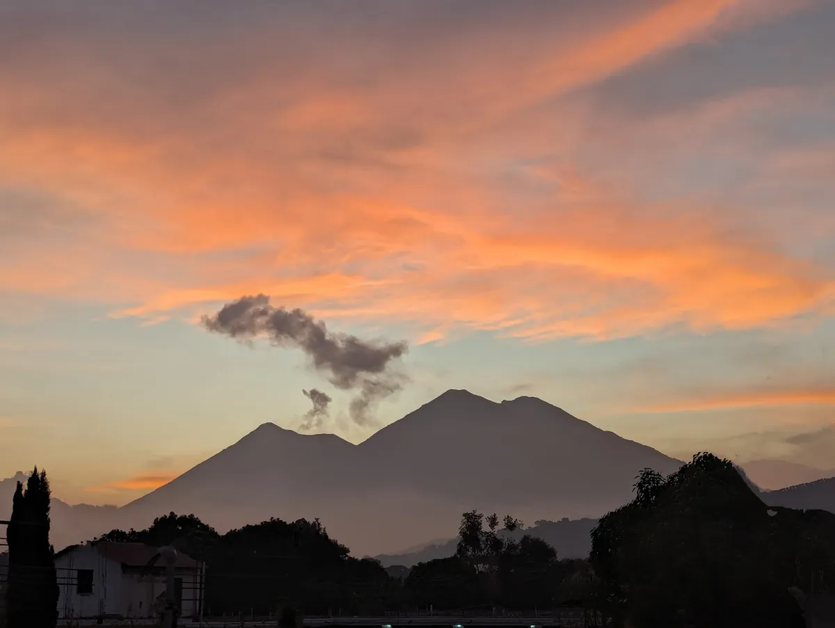
Guatemala transforms during the rains. The brown, dusty landscapes of April become brilliantly green by June. Volcanoes that were hazy during the dry season emerge with stunning clarity in morning light. Waterfalls are at full power. The countryside is at its most photogenic.
Better Agricultural Markets
Rainy season means harvest season for many crops. Markets overflow with fresh produce, tropical fruits peak in variety, and the food is exceptional.
Dramatic Skies
Photographers love rainy season light. Sunset colors are more vivid, cloud formations are dramatic, and the contrast between morning sunshine and afternoon storms creates spectacular conditions.
The Cons: Real Risks to Plan For
Flooding
Urban flooding is a genuine problem. Guatemala City’s drainage infrastructure is insufficient for heavy rains, and streets in Zonas 1, 3, 7, and 12 can flood within minutes during downpours. Low-lying areas near rivers are particularly vulnerable.
Landslides
Mountainous roads are susceptible to derrumbes (landslides) during heavy rains. The road from Guatemala City to the Atlantic (CA-9), the Interamericana highway through the highlands, and rural mountain roads in Alta Verapaz are the highest-risk areas. CONRED posts road alerts on social media.
Road Conditions
Unpaved roads in rural areas, especially in Peten, Alta Verapaz, and mountain communities, can become impassable during heavy rains. If your itinerary includes off-the-beaten-path destinations, rent a 4x4 and check conditions locally before departing.
Mosquitoes
Standing water means more mosquitoes, especially in lowland areas. Dengue and other mosquito-borne illnesses increase during the rainy season. Use repellent, especially on the Pacific coast, Caribbean lowlands, and Peten.
What to Pack for the Rainy Season
| Item | Why |
|---|---|
| Lightweight rain jacket | More practical than an umbrella for walking; quick-dry material |
| Waterproof day bag or dry bag | Protects electronics, documents, camera |
| Quick-dry clothing | Cotton stays wet for hours; synthetic or merino wool dries fast |
| Waterproof hiking shoes or sandals | Chacos or keen sandals for wet conditions; waterproof boots for highland hikes |
| Compact umbrella | For urban areas where a rain jacket feels too hot |
| Ziplock bags | For phone, passport, cash |
| Insect repellent (DEET or picaridin) | Essential for lowland areas |
| Light fleece or sweater | Highland evenings are cold and damp during the rainy season |
Best and Worst Months to Visit
| Ranking | Month | Why |
|---|---|---|
| Best | June | Predictable afternoon rains, green landscapes, lower prices, fewer tourists |
| Great | May | Transition month; mostly dry with first refreshing rains |
| Good | Late October | Rains fading, landscape at peak green, Day of the Dead approaching |
| Good | July (canicula) | Dry spell mid-season; good weather window |
| Challenging | August | Consistent rain, start of hurricane season peak |
| Toughest | September | Heaviest rains, flooding risk, landslides, limited road access |
Rainy Season and Guatemala’s Agriculture
The rainy season is not just weather – it is the engine of Guatemala’s agricultural economy. Understanding this helps explain why Guatemalans do not view the rains negatively.
- Coffee: The rains nourish Guatemala’s world-class coffee crop. Coffee cherries develop during the rainy season and are harvested starting in November.
- Corn and beans: The staple crops of Guatemalan cuisine are planted at the start of the rainy season and harvested in fall.
- Cardamom: Guatemala is the world’s largest cardamom exporter. The crop thrives in the rainy Alta Verapaz region.
- Sugar cane: Grown on the Pacific coast, benefiting from heavy rains before the dry-season harvest.
When a farmer says “gracias a Dios por la lluvia,” they mean it literally. The rains are essential to Guatemala’s food security and economy.
Practical Summary
| Detail | Information |
|---|---|
| Rainy season dates | Mid-May to late October |
| Daily rain pattern | Usually 2:00-5:00 PM |
| Heaviest month | September |
| Driest rainy-season month | July (canicula) |
| Best month to visit | June |
| Hotel price drop | 20-40% vs dry season |
| Driest region | Eastern valleys (Zacapa, Chiquimula) |
| Wettest region | Pacific coast and Caribbean lowlands |
| Key risk | Flooding and landslides in September-October |
| Essential gear | Rain jacket, waterproof bag, quick-dry clothes |
Guatemala’s rainy season is not a reason to cancel your trip – it is a reason to plan differently. Mornings are yours. Afternoons belong to the rain. If you can embrace that rhythm, you will experience a Guatemala that most tourists never see: greener, quieter, cheaper, and in many ways more beautiful than the postcard-perfect dry season.
For real-time weather data, check our weather page. For regional safety information including flood risk areas, see our safety data.
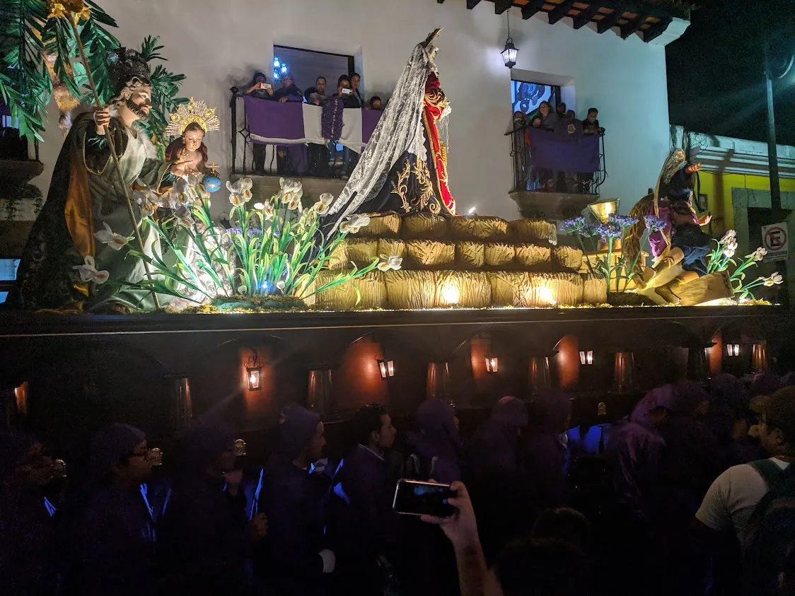
![Viernes Santo Antigua 2026: Hour-by-Hour Procession Guide [Maps & Times]](/images/photos/semana-santa-2.webp)