UPDATE — June 11, 2026: It’s official. NOAA’s Climate Prediction Center upgraded last month’s Watch to a full El Niño Advisory: El Niño conditions are present and expected to strengthen into the Northern Hemisphere winter of 2026-27. The headline number is the strength forecast — a 63% chance of a very strong El Niño during November-January, an event that would rank among the largest in the historical record going back to 1950, in the class of 1982-83, 1997-98, and 2015-16. The rest of this page has been updated with the June 11 figures; the May numbers are kept in the table below so you can see how fast this is moving.
For Guatemala, this is the most consequential climate signal of the year. El Niño does not just nudge the weather — it shifts the entire rainy season, the canícula, hurricane risk, hydropower output, and the food security of farmers across the corredor seco.
This post explains what NOAA actually said, what El Niño typically does to Guatemala, and what to watch through 2026-27. It does not predict a specific drought or specific damage. The science does not support that level of specificity. What it does support is a clear picture of risk and a list of things to track.
Quick summary: NOAA declared an El Niño Advisory on June 11, 2026 — conditions are present now. Weekly Niño-3.4 anomaly: +0.7°C (was +0.4°C in mid-May); coastal Niño-1+2: +2.1°C. There is a 63% chance of a very strong event at the November-January peak. For Guatemala this historically means below-average rain in the corredor seco, a longer canícula, fewer Atlantic hurricanes, and pressure on hydropower reservoirs. Next NOAA update: July 9, 2026.
Explore the data: The Guatemala Weather Hub shows live rainfall accumulation for 22 departments versus the 30-year normal, plus the current ENSO state pulled directly from NOAA. As the season progresses, the hub will show whether the corredor seco and the Pacific lowlands are running wet or dry compared to a normal year — which is the single best leading indicator of El Niño impact on the ground.
What Is El Niño / La Niña?
El Niño and La Niña are the two opposite phases of the El Niño-Southern Oscillation (ENSO) — a natural climate cycle driven by sea-surface temperatures in the central and eastern equatorial Pacific Ocean. Scientists measure it through the Niño-3.4 index, the temperature anomaly in a defined patch of ocean roughly between 5°N-5°S and 170°W-120°W.
- El Niño: Niño-3.4 runs warmer than +0.5°C for an extended period. The warmer ocean shifts atmospheric circulation, weakening trade winds and changing rainfall patterns across the tropics.
- La Niña: The mirror image. Niño-3.4 runs cooler than -0.5°C. Trade winds strengthen. Rainfall patterns shift the opposite way.
- Neutral: Niño-3.4 sits between -0.5°C and +0.5°C. We left this zone in early June 2026 — the index crossed the El Niño threshold and reached +0.7°C by June 11.
For Central America, the practical effect of El Niño is that rainfall over the Pacific side of the isthmus tends to decrease, while parts of the Caribbean and South America see different shifts. Guatemala sits right in the zone where El Niño’s drying signal is strongest.
The 2026 Forecast: What NOAA Just Said
The June 11, 2026 ENSO Diagnostic Discussion from NOAA’s Climate Prediction Center is the official basis for everything below. The May column is kept so you can see the one-month trajectory — this is moving fast:
| Indicator | May 14, 2026 | June 11, 2026 |
|---|---|---|
| ENSO Alert System Status | El Niño Watch | El Niño Advisory |
| Current state | ENSO-Neutral | El Niño conditions present |
| Niño-3.4 anomaly (weekly) | +0.4°C | +0.7°C |
| Niño-4 anomaly | +0.5°C | +0.7°C |
| Niño-1+2 anomaly (coastal) | +1.0°C | +2.1°C |
| Peak strength signal | No category above 37% | 63% chance of a VERY STRONG event, Nov-Jan |
| Forecast trajectory | Likely to emerge May-Jul | Strengthening into winter 2026-27 (NMME consensus) |
| Next NOAA update | June 11, 2026 | July 9, 2026 |
Three things are worth pulling out:
One: This is now a present-tense declaration, not a forecast. An Advisory means Niño-3.4 has crossed +0.5°C and the atmosphere has coupled to the ocean signal — NOAA’s discussion explicitly says “the coupled ocean-atmosphere system reflected the onset of El Niño conditions.”
Two: The strength question collapsed in one month. In May, no strength category cleared 37%. Now a single category — very strong — sits at 63% for the November-January peak, which NOAA notes “would rank among the largest El Niño events in the historical record going back to 1950.” The comparison class is 1982-83, 1997-98, and 2015-16, all of which produced serious drought impacts in Guatemala (see the historical table below).
Three: NOAA’s own caveat, worth quoting: “Even very strong El Niño events do not lead to the expected impact everywhere, but stronger events can more significantly tilt the odds in favor of expected outcomes.” For Guatemala, the expected outcomes are an extended canícula, corredor seco rainfall deficits, and a suppressed Atlantic hurricane season.
Source: NOAA Climate Prediction Center, ENSO Diagnostic Discussion, June 11, 2026.
How El Niño Affects Guatemala’s Rainy Season
The typical El Niño signature for Guatemala has been documented across multiple decades. It is not uniform across the country, and it is not uniform across the rainy season.
- Total rainfall: Tends to run below average over most of the country, with the strongest reductions on the Pacific side and in the eastern dry corridor. The western highlands and the Caribbean side are less affected.
- Canícula: The mid-season dry spell, normally 2-3 weeks in late July and early August, often extends and intensifies during El Niño years. In severe events it has stretched to 30-40 days, devastating the first corn harvest in the corredor seco.
- Onset and end: El Niño rainy seasons can start later than normal and end earlier, compressing the wet window. Farmers who plant on the traditional first-rains signal can lose seed if the rains pause.
- Rainfall intensity: When rain does fall during El Niño years, it sometimes arrives in shorter, more intense bursts — which produces flooding even in a “drier” overall season. Dry soil sheds heavy rain rather than absorbing it.
- Regional differences: The Caribbean lowlands (Izabal) and the western highlands sometimes see near-normal rainfall even when the corredor seco is in severe drought. El Niño is geographically uneven across Guatemala.
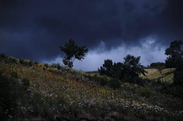
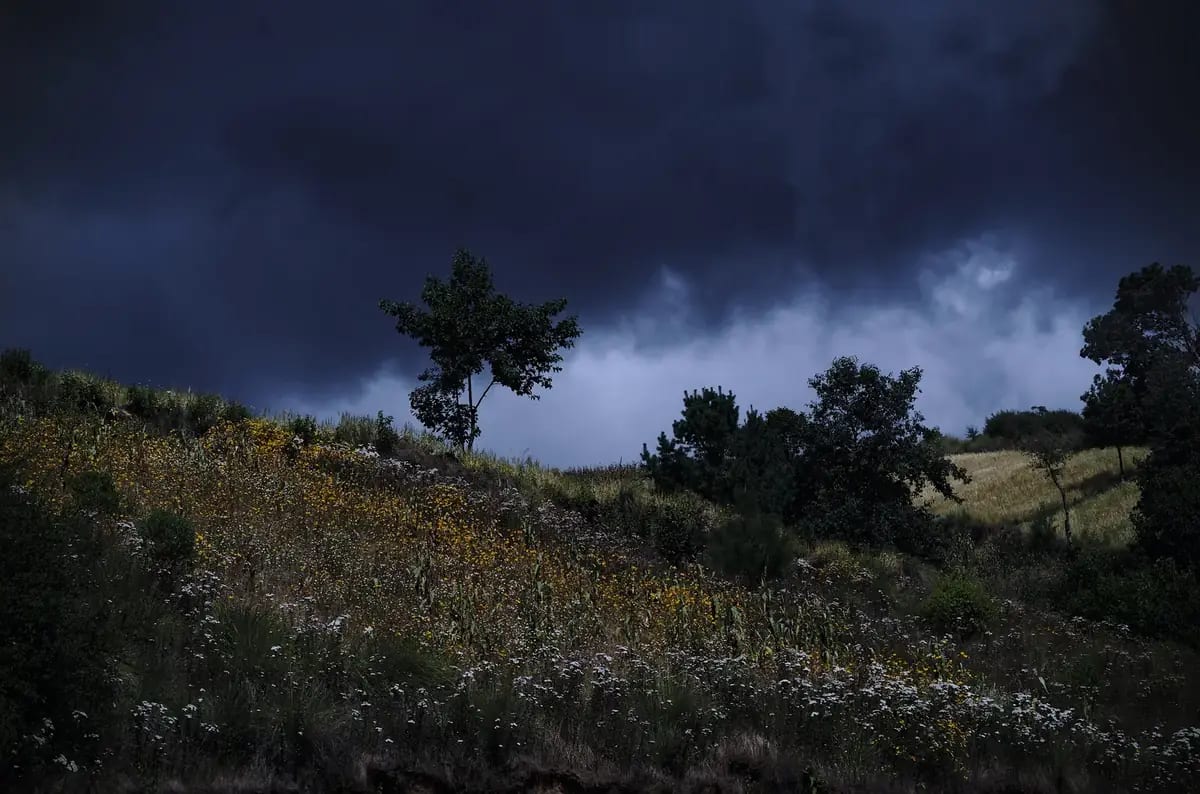
The single number that matters most for Guatemala is canícula length. A two-week canícula is normal and even welcome. A six-week canícula in an El Niño year is a humanitarian emergency for subsistence farmers.
Historical El Niño Years and What They Did
The following major El Niño events are the reference cases. Each had different intensity and different Guatemala-specific impacts. The strength categories below are NOAA’s official classifications based on the Oceanic Niño Index (ONI).
| Event | NOAA Strength | Guatemala Impact Summary |
|---|---|---|
| 1982-83 | Very strong | Major drought; severe corn harvest losses in eastern Guatemala. |
| 1997-98 | Very strong | One of the most severe El Niño events on record. Extended canícula; widespread drought across the corredor seco; agricultural emergency declared. |
| 2002-03 | Moderate | Below-average rain; canícula extended in eastern departments. |
| 2009-10 | Moderate | Drought in the corredor seco; food security alerts issued by FAO and WFP. |
| 2014-16 | Strong (2015-16 peak) | The defining recent event. The multi-year drought across the Central American Dry Corridor pushed roughly 3.5 million people in the region into food insecurity by 2016 according to UN OCHA. Guatemala’s corredor seco was among the hardest-hit areas. |
| 2018-19 | Weak | Limited overall impact; some canícula extension. |
| 2023-24 | Strong | Notable rainfall deficits in the corredor seco; coffee and corn harvests affected. |
| 2026-27 | Forecast: 63% very strong | In progress — Advisory declared June 11, 2026. If the very-strong forecast verifies, the reference cases are the three rows above marked “very strong.” |
The pattern to notice: Strong El Niños tend to produce real humanitarian impact in Guatemala. Weak ones often pass with limited damage. The 2014-16 event is the most relevant recent benchmark because it was strong, it persisted, and its effects are still being studied in food-security data published by FAO, the World Food Programme, and the Famine Early Warning Systems Network (FEWS NET).
Source for 2014-16 impact: UN OCHA, Central America Dry Corridor situation reports, 2016 and FEWS NET Guatemala food security reports.
El Niño and Hurricane Season
This is the upside for Guatemala. El Niño years suppress Atlantic hurricane activity through a well-understood mechanism: warmer Pacific water increases upper-level westerly winds over the Caribbean and Atlantic, which produces vertical wind shear. Wind shear tears apart developing tropical storms before they can organize.
NOAA’s seasonal hurricane outlooks consistently forecast below-normal Atlantic hurricane seasons when El Niño is active. For Guatemala this matters in three specific ways:
- Fewer Caribbean-side rainfall surges. Tropical-storm remnants moving across the Caribbean into Izabal and Alta Verapaz are less common in El Niño years.
- Lower probability of major flood disasters. Events like Hurricane Stan (2005, neutral year) and the Eta-Iota double-strike (2020, La Niña year) tend to occur when ENSO is neutral or La Niña, not during El Niño.
- Pacific hurricane season can be more active. El Niño typically increases Eastern Pacific hurricane activity, but those storms rarely make Guatemala landfall — they curve out to sea. Pacific systems mostly affect Mexico.
The trade-off is real: less risk of a single catastrophic flood event, more risk of a slow-grinding drought. Neither is automatically better than the other. They produce different humanitarian and economic consequences.
Source: NOAA, ENSO and Atlantic Hurricane Activity.
What to Watch Through 2026-27
The forecast is not a fixed schedule. It is a probability distribution that updates monthly. Here is the calendar of what matters:
June 11, 2026:Happened — and it delivered. NOAA declared the El Niño Advisory: Niño-3.4 crossed +0.5°C (now +0.7°C), the atmosphere coupled, and the strength forecast jumped to 63% very strong.- July 9, 2026: Next NOAA Diagnostic Discussion. Watch whether the very-strong probability holds or climbs, and whether Niño-3.4 keeps rising through +1.0°C.
- July-August 2026: Canícula window. The single most important on-the-ground indicator for Guatemala — and the first one with El Niño actually present rather than forecast. If the canícula stretches past three weeks across multiple corredor seco departments, the El Niño signal is real and impactful.
- September 2026: Peak rainy-season month. If rainfall deficits are clear by mid-September, the 2026 invierno is officially below normal.
- November 2026-January 2027: Typical El Niño peak window. NOAA’s 96% probability is for this period. If El Niño materializes at all, this is when it will be strongest.
- Dry season 2026-27: El Niño dry seasons tend to be drier and longer than normal. Reservoir levels, dust, and air quality all get worse.
- April-June 2027: The most economically dangerous window. The 2025-26 corn harvest already happened before El Niño peaked, but the 2026-27 planting cycle will face whatever residual dryness El Niño leaves behind. The corredor seco’s “first hunger season” lands here in bad El Niño years.
The site’s Weather Hub pulls fresh ENSO state from NOAA and rainfall accumulation from Open-Meteo on a daily basis, so the actual data — not predictions — is visible as the season unfolds.
Practical Implications
Agriculture
For corredor seco subsistence farmers (Zacapa, Chiquimula, Jutiapa, El Progreso), an extended canícula is the single biggest risk. The first corn harvest (primera) is the most vulnerable. Recommended mitigations historically promoted by FAO and Guatemala’s MAGA include drought-tolerant seed varieties, water-harvesting infrastructure, and staggered planting dates. Coffee is less immediately at risk in the first year of El Niño but is affected by cumulative dry-season dryness in highland production regions like Huehuetenango and San Marcos.
Water Supply
Guatemala City and Antigua draw water from a mix of groundwater, springs, and reservoirs. Dry-season water rationing is already common in normal years. An El Niño dry season typically makes this worse. Households on rooftop-tank supply (most of Guatemala City) should expect more frequent municipal shutoffs in early 2027 if El Niño peaks at moderate strength or above.
Hydroelectric Power
About 60% of Guatemala’s electricity comes from hydropower in normal years. Reservoir levels at Chixoy and other major dams are sensitive to multi-month rainfall deficits. In severe El Niño years (1997-98, 2015-16), hydropower output dropped significantly and Guatemala had to import more thermal generation, which raised marginal electricity costs and produced more grid stress during the dry season.
Insurance and Planning
Property insurance in Guatemala does not generally distinguish between El Niño and La Niña years. But ENSO state is the single best leading indicator for what kind of disaster year is coming. If you are planning major outdoor construction, travel, agricultural investment, or food-supply contracts for 2026-27, the probability distribution above is the correct starting point.
Tourism
Tourism is the least affected sector. El Niño tends to mean fewer “rainy day washout” travel impacts — the rainy-season pattern of clear mornings and afternoon showers usually holds, just with slightly fewer afternoon showers and a longer canícula. For travelers, El Niño rainy seasons can actually be slightly better. The trade-off is that the dry season immediately after tends to be hotter and dustier than normal.
Related Reading
- Guatemala Rainy Season 2026 — month-by-month rainy season guide, daily rain pattern, regional differences.
- Canícula 2026 in Guatemala — the mid-season dry spell, when it hits, and how El Niño can stretch it from 2 weeks to 6.
- Drought in Guatemala 2026 — the El Niño drought risk, where it bites hardest, and the metrics to watch through the canícula.
- Guatemala’s Corredor Seco — the semi-arid dry corridor that becomes the country’s most drought-vulnerable region in El Niño years.
- Corn and Bean Prices 2026 — how drought feeds through to the price of Guatemala’s two staple grains.
- Hurricane Season Guatemala 2026 — Atlantic vs Pacific seasons, suppression mechanism, historical impact comparison.
- Guatemala Weather Hub — live ENSO state, rainfall accumulation vs 30-year normal, 22-department forecast, refreshed every 15-30 minutes.
- Safety Data — regional flood, landslide, and drought risk by department.
Where to Track 2026 El Niño in Real Time
- NOAA Climate Prediction Center ENSO page — the official source. Updated monthly on the second Thursday.
- INSIVUMEH — Guatemala’s national meteorological institute. Issues seasonal forecasts that incorporate ENSO state, and daily weather alerts.
- FEWS NET Guatemala — food security outlooks for the corredor seco. The first place humanitarian impacts show up in data.
- Guatemala Weather Hub — live ENSO state pulled from NOAA, rainfall accumulation for 22 departments, refreshed every 15-30 minutes.
El Niño is here, but it is not an emergency yet — it is a declared event with a strength forecast attached. The 63% very-strong number is a probability, not a certainty, and NOAA itself cautions that even very strong events don’t deliver the expected impact everywhere. The first ground-truth signal for Guatemala arrives during the canícula in late July and August; the next forecast refinement lands July 9. The right posture is informed attention — not alarm, not dismissal.